
|
|
Fareed Abou-Haidar's pictures from Lebanon
|
|
All these photographs are © Fareed Abou-Haidar and may not be used without his explicit consent.
Clicking on the thumbnail images or the captions will load a 512 pixel wide version of the pictures (20-80Kb jpeg). Clicking the "(L)" will load a large 1300x900 pixel (700Kb) jpeg version of the pictures.
|
|
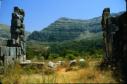
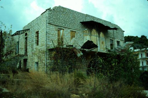
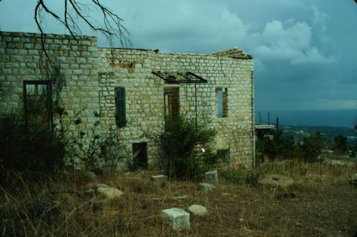
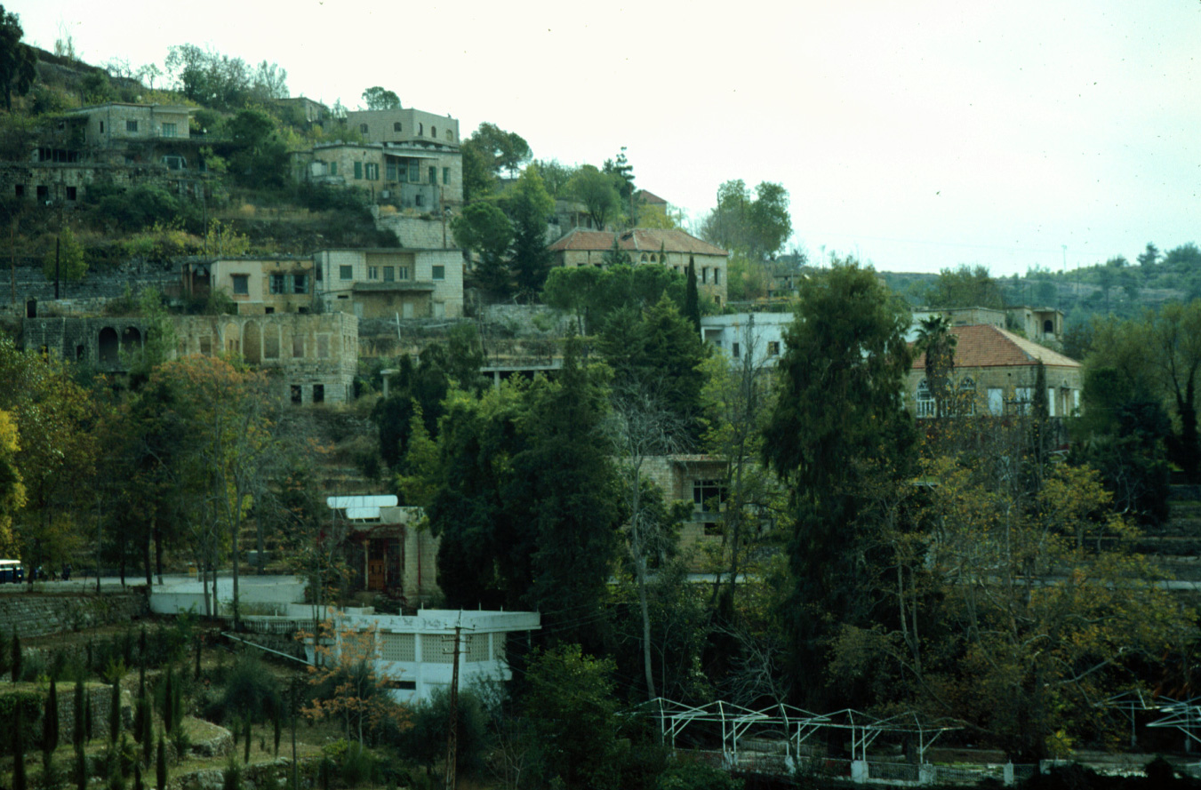
(A) Shemlan
|

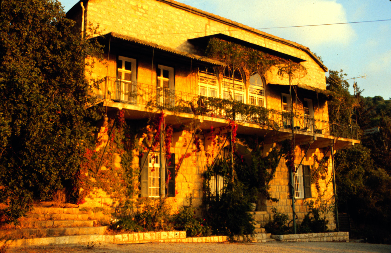
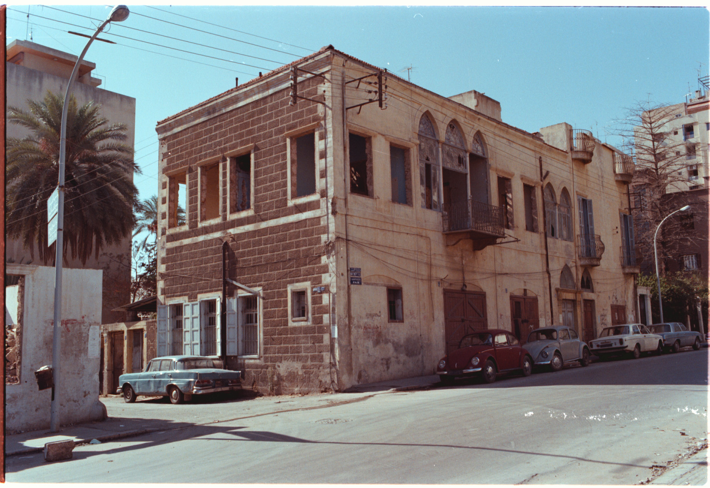
A-1 Old Lebanese house in Shemlan. 1980 (L)
|

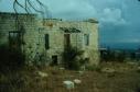
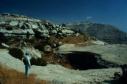
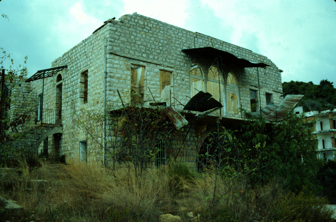
A-2 Old house in Shemlan, destroyed by war. 1993 (L)
|
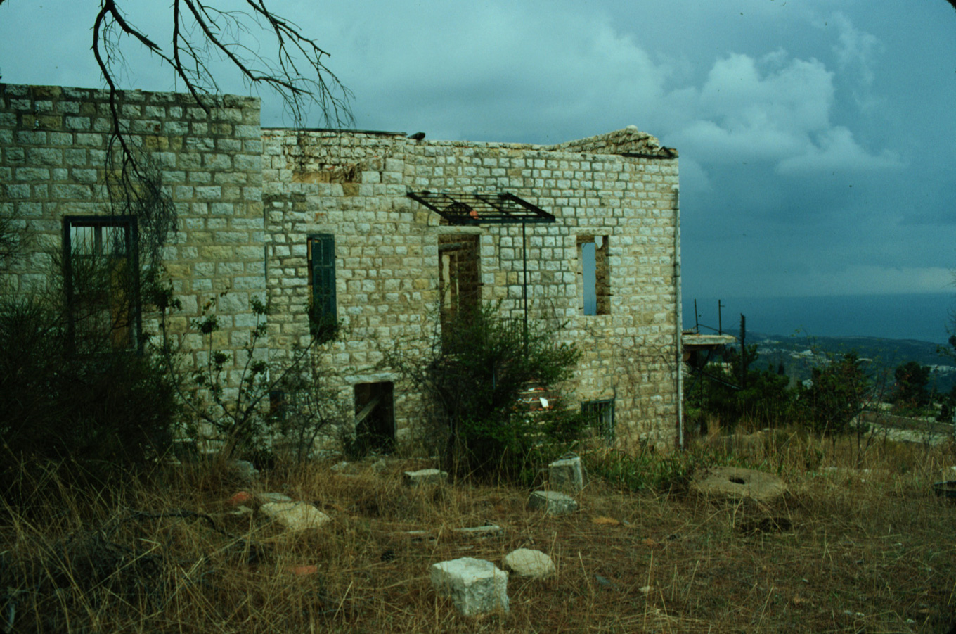
A-3 Old house in Shemlan. 1993 (L)
|
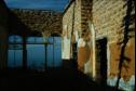
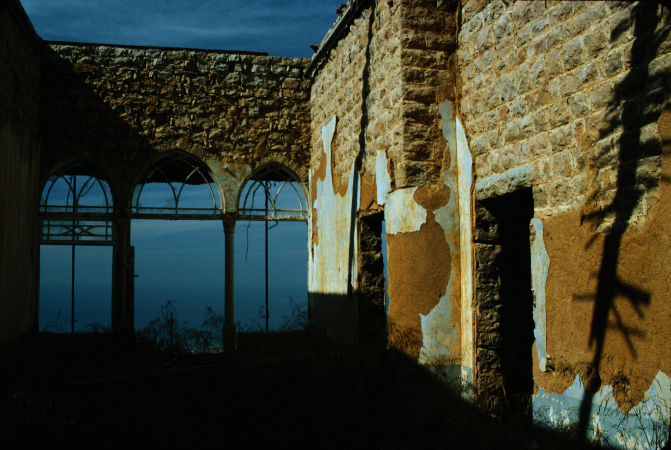
A-4 Inside old house in Shemlan. 1993 (L)
|

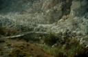
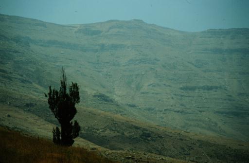
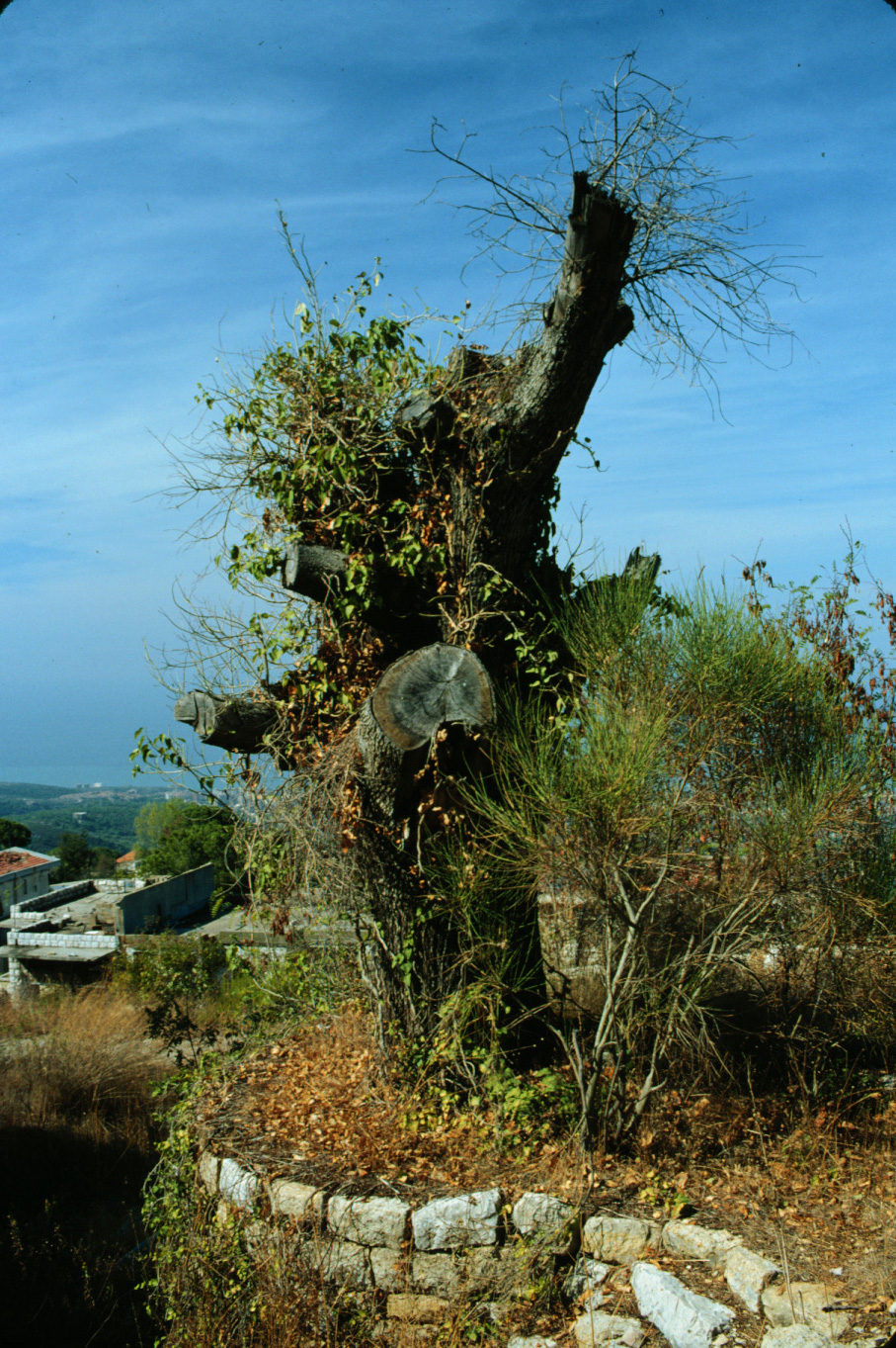
A-5 Old oak tree in Shemlan, cut during war. 1993 (L)
|
|
(B) Beirut, Jounieh, Broummana area
|

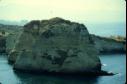
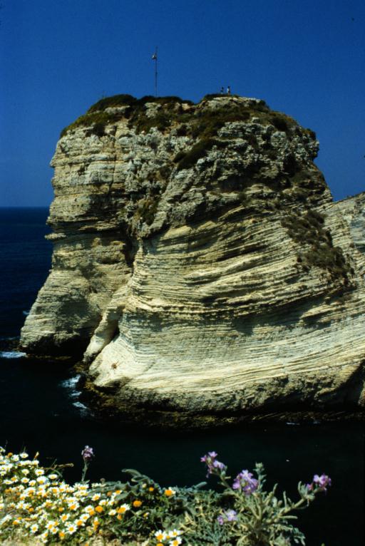
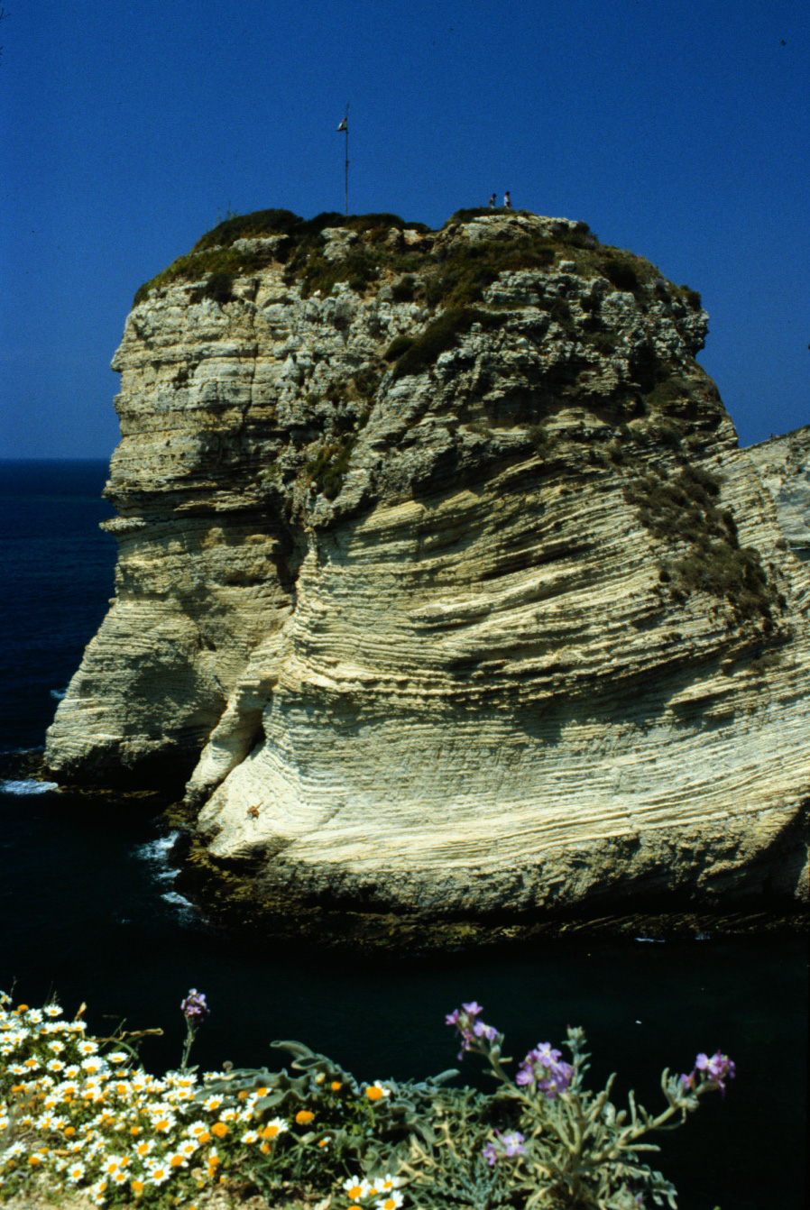
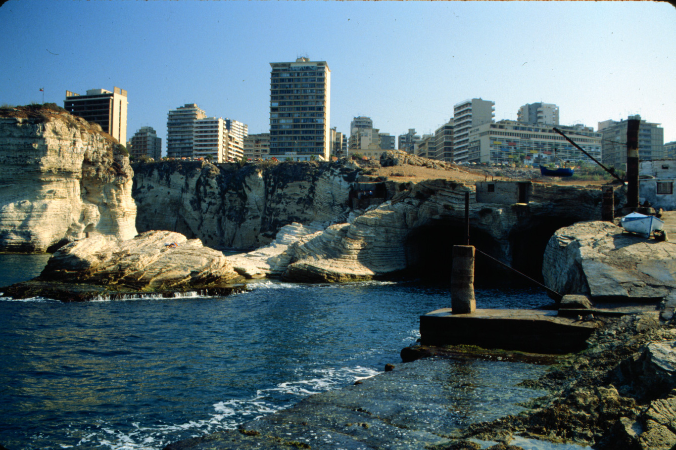
B-1 Pigeon Rock, from south side, Beirut. 1983 (L)
|
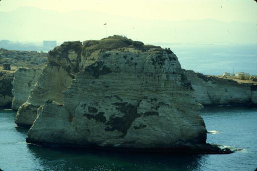
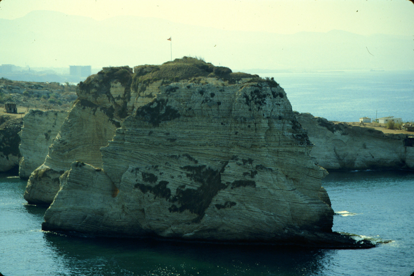
B-2 Pigeon Rock, from north side, Beirut. 1990 (L)
|

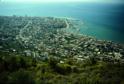
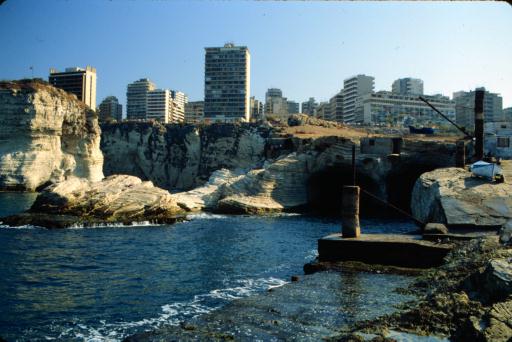
B-3 Beirut from shore near Pigeon Rock. 1990 (L)
|
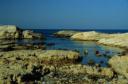
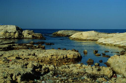
B-4 Small inlet near Pigeon Rock. 1990 (L)
|
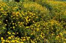
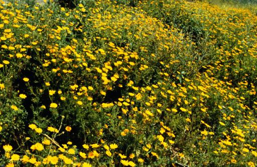
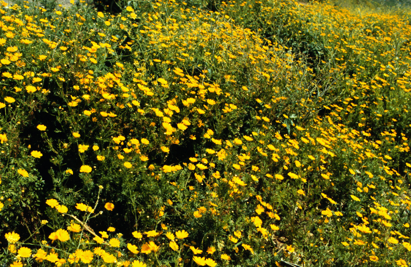
B-5 Crown Daisy near Pigeon Rock. 1983 (L)
|

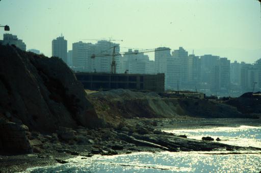
B-6 Destruction of Beirut Corniche by new hotel. 1990 (L)
|

30-A Lebanese house being demolished in Beirut. 1981 (L)
|
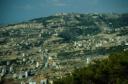
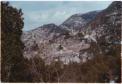
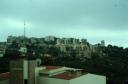
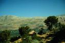
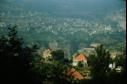
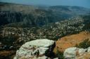
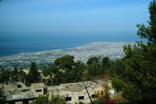
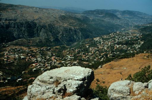
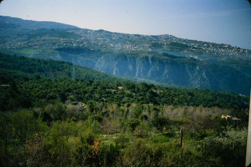
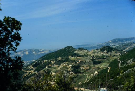
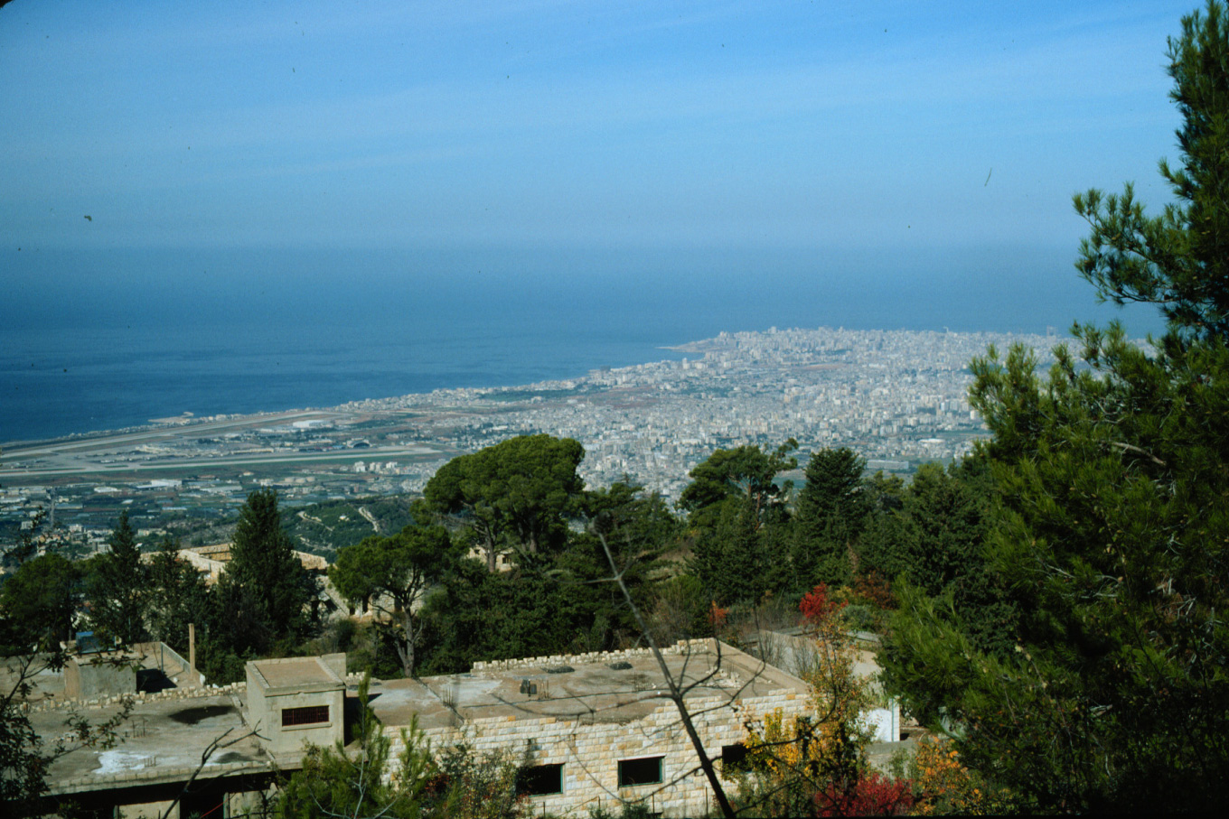
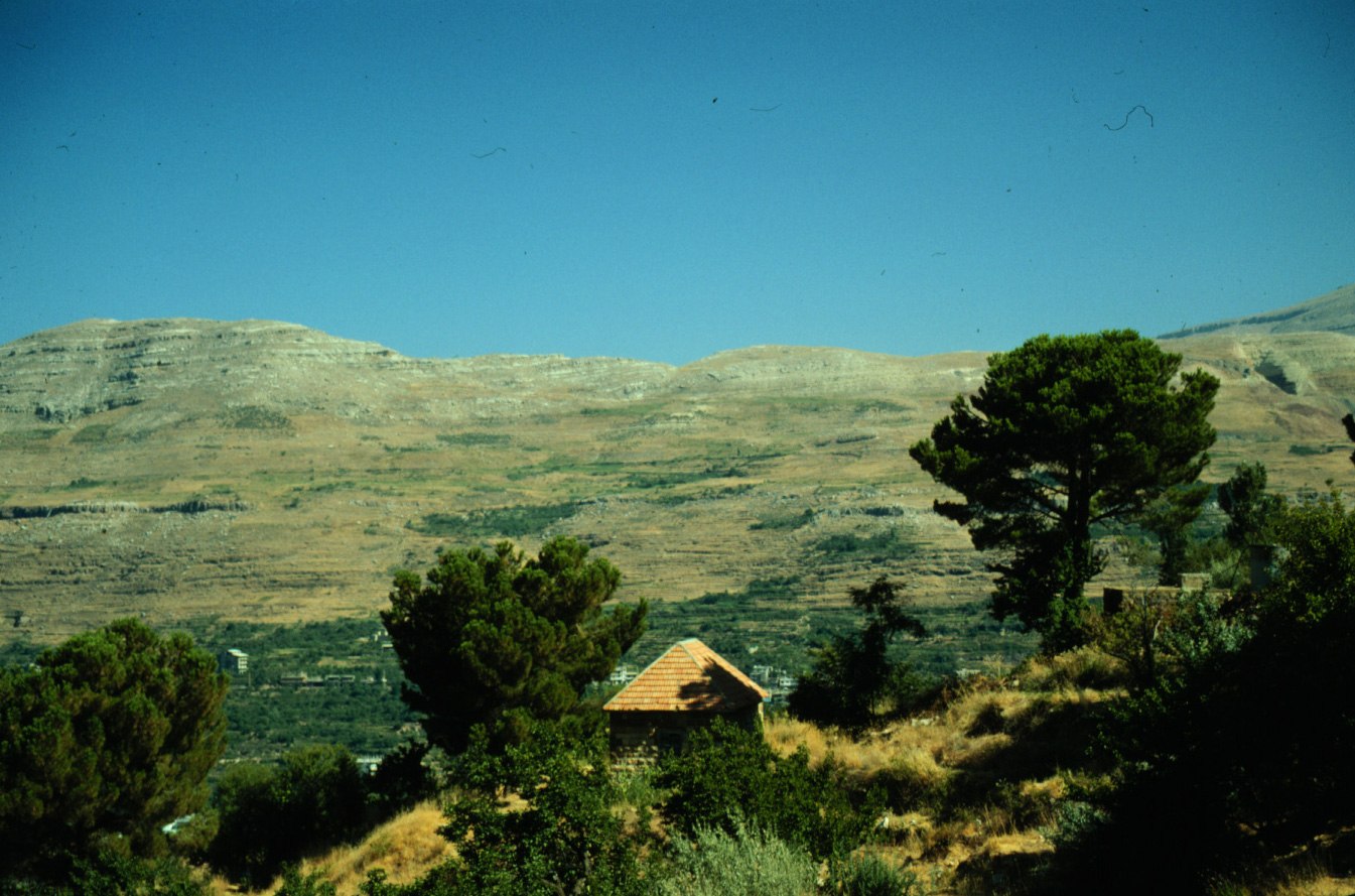
B-7 Beirut from Shemlan. 1993 (L)
|
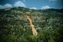
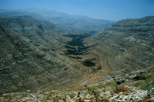
B-8 Commercial overbuilding at Dog River. 1984 (L)
|
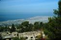
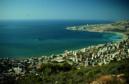
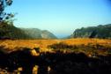
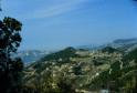
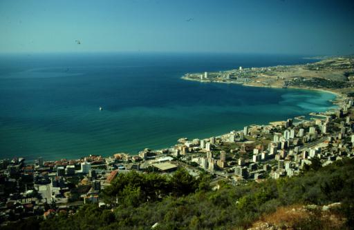
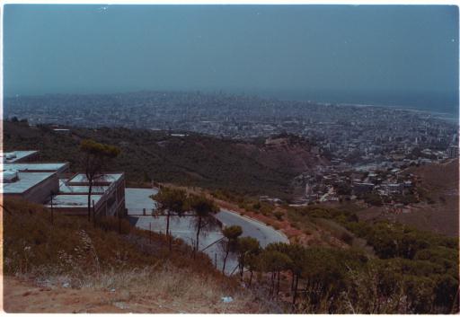
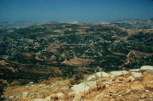
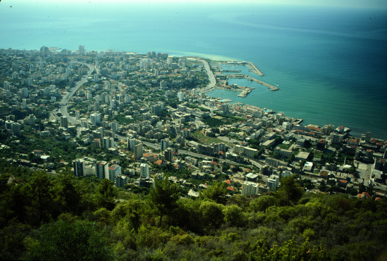
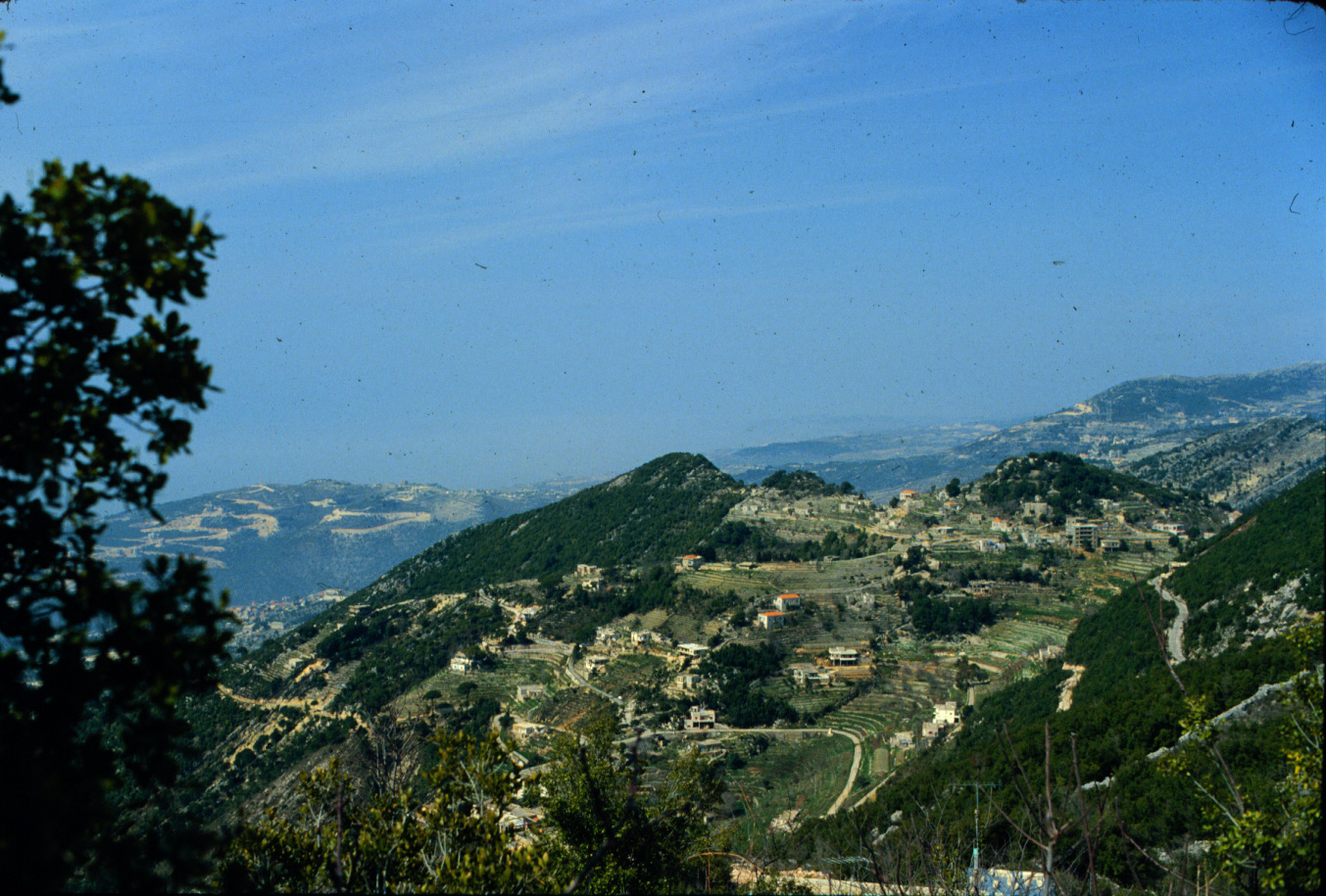
B-9 Jounieh from Harissa. 1990 (L)
|
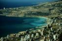
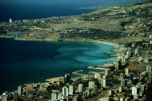
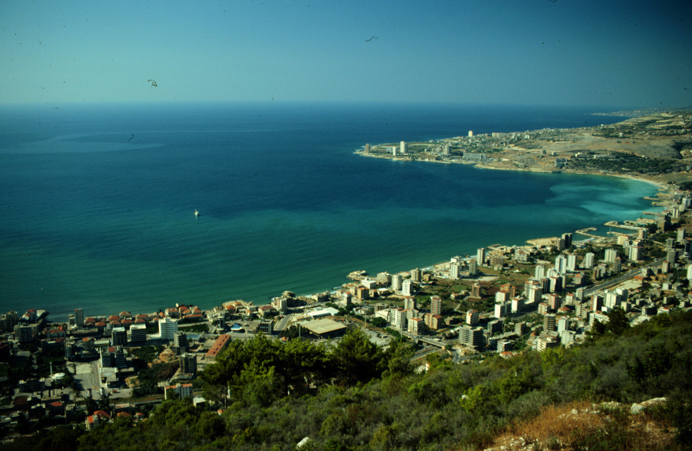
B-10 Bay of Jounieh from Harissa. 1990 (L)
|
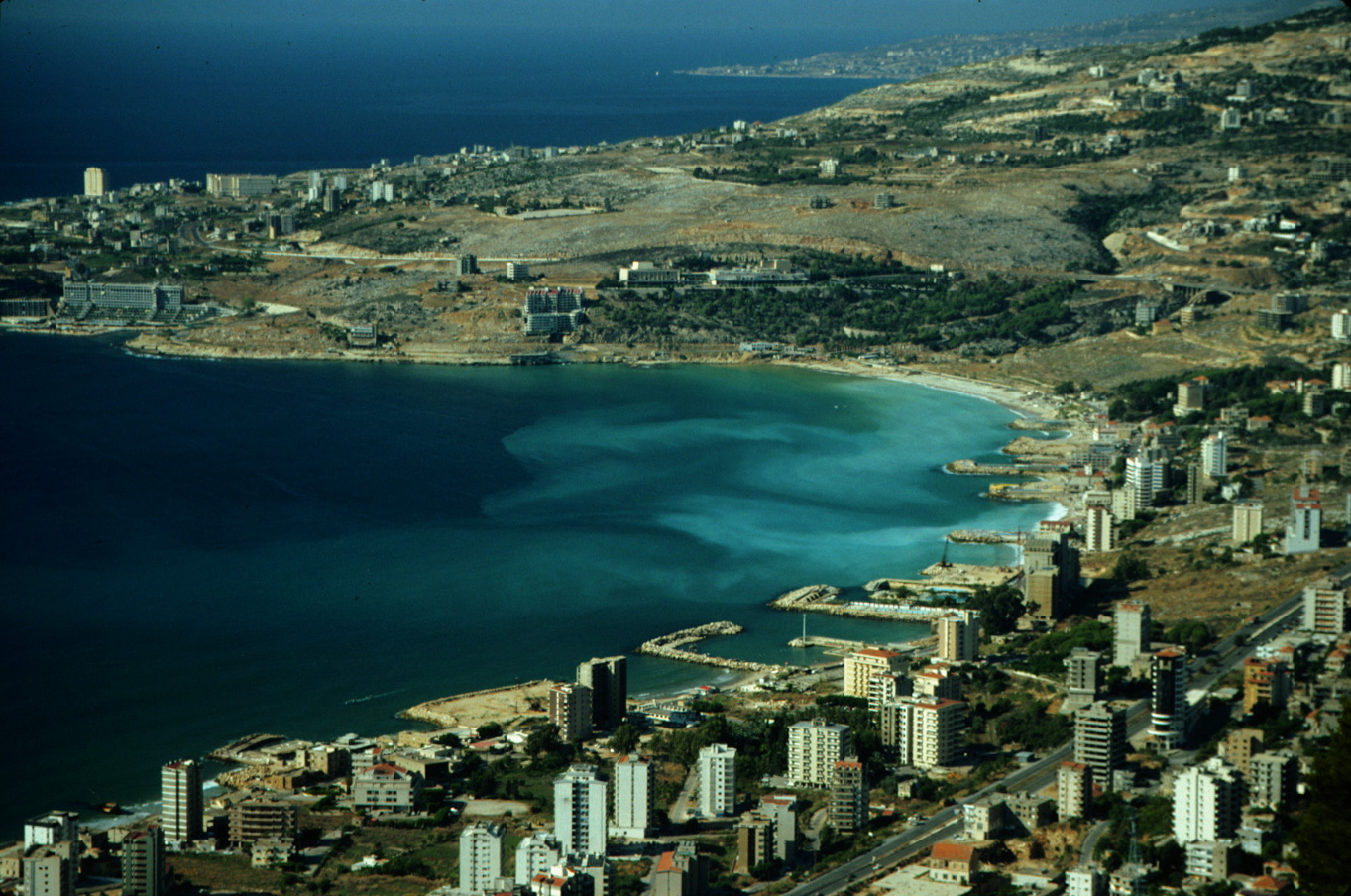
B-11 Bay of Jounieh disfigured by jetties. 1990 (L)
|
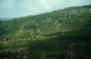
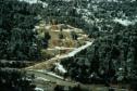
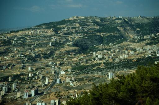
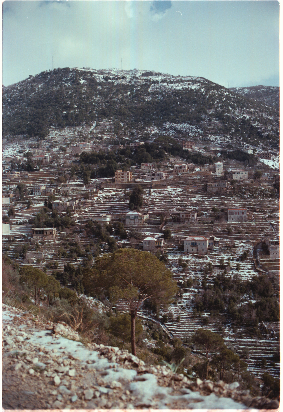
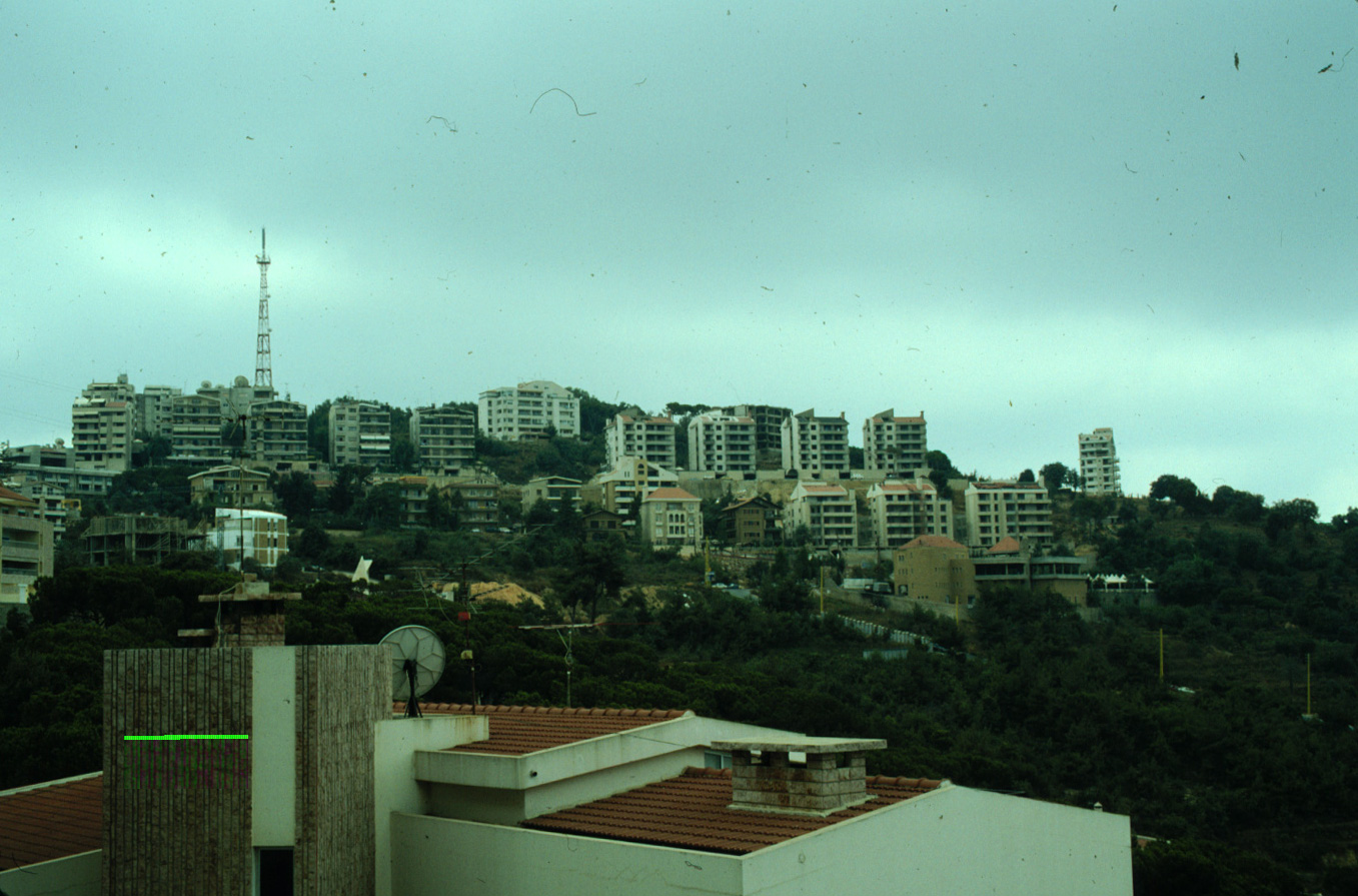
B-12 Urban sprawl above Bay of Jounieh. 1990 (L)
|
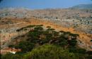
8-A Mountains above Bay of Jounieh scarred by development. 1983 (L)
|

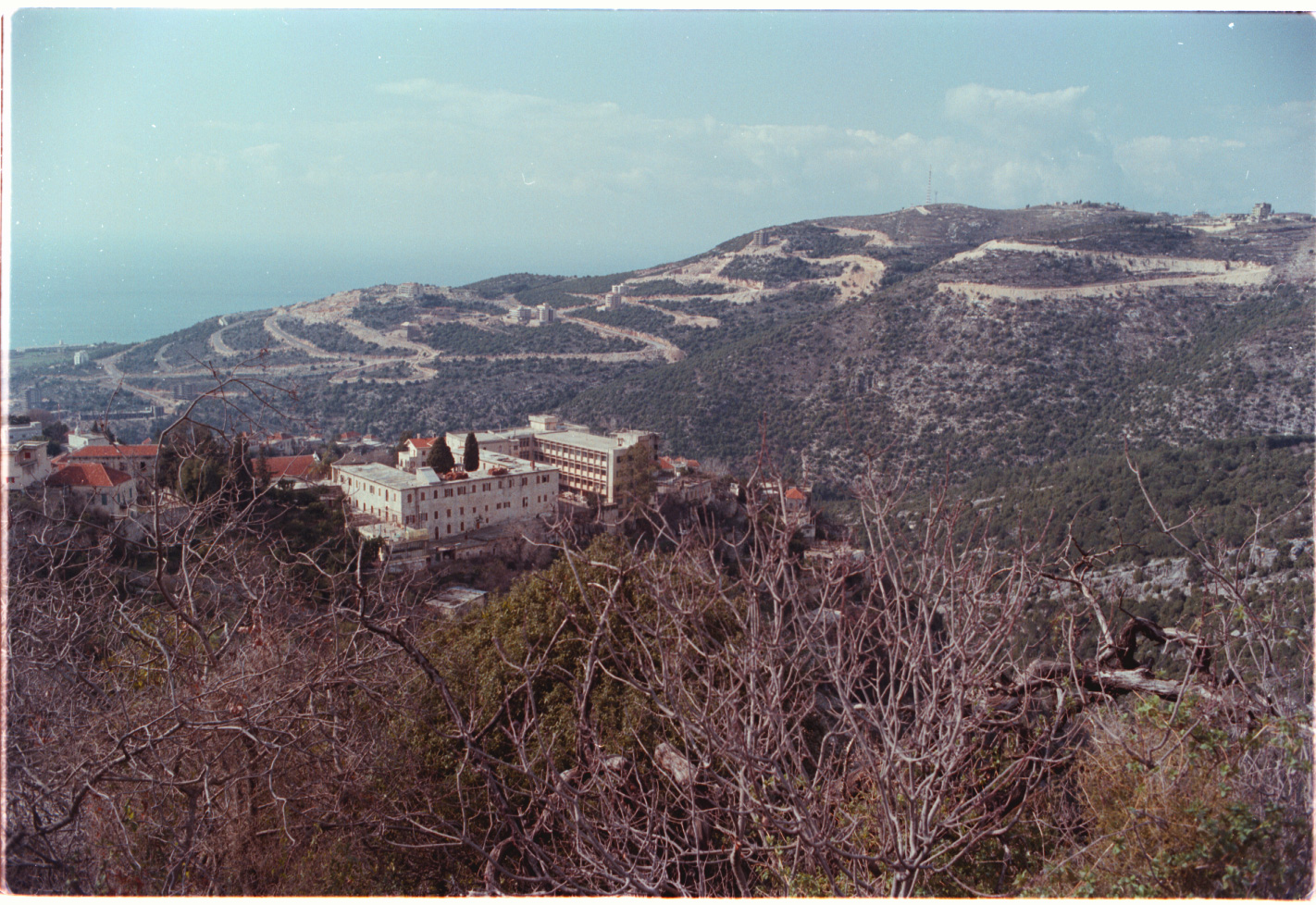
10-A Dlebta, above the Bay of Jounieh. 1983 (L)
|

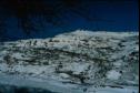
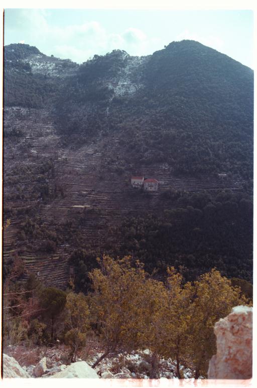
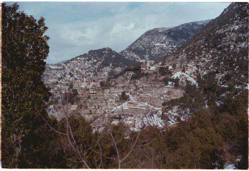
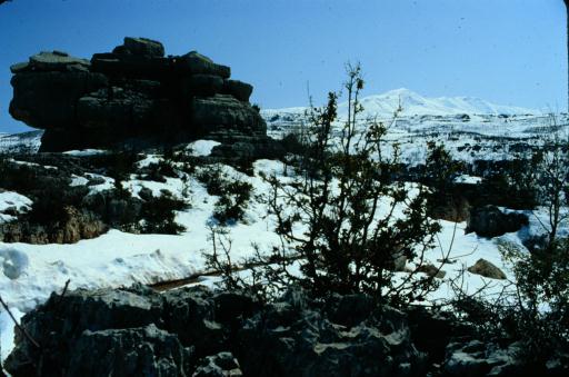
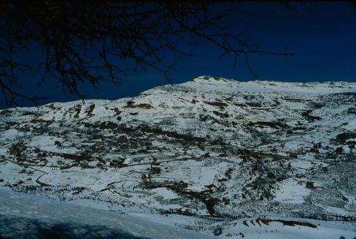
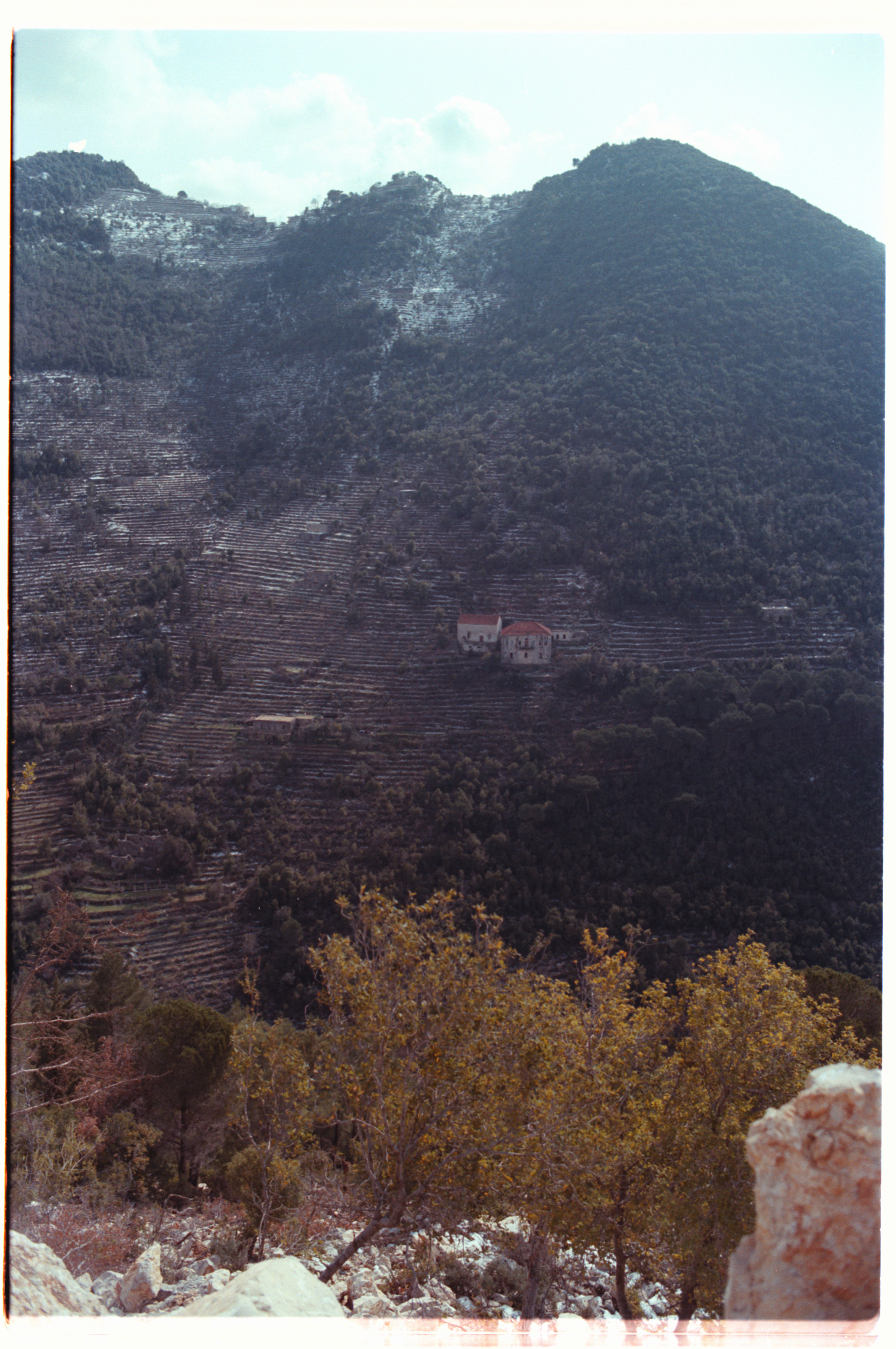
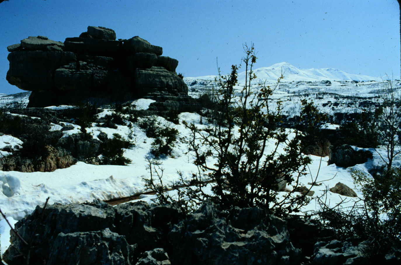
12-A Dlebta, after a rare snowfall. 1983 (L)
|
15-A Dlebta, from the road to Ghosta. 1983 (L)
|

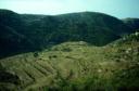
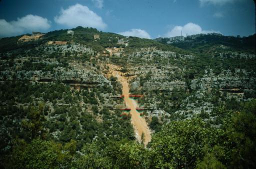
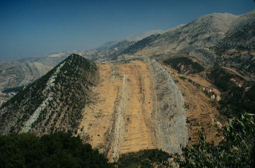
B-13 Mountain gouged by construction above Khaldeh. 1995 (L)
|
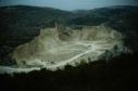
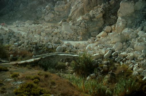
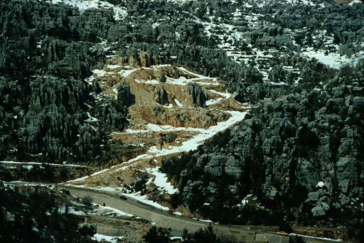
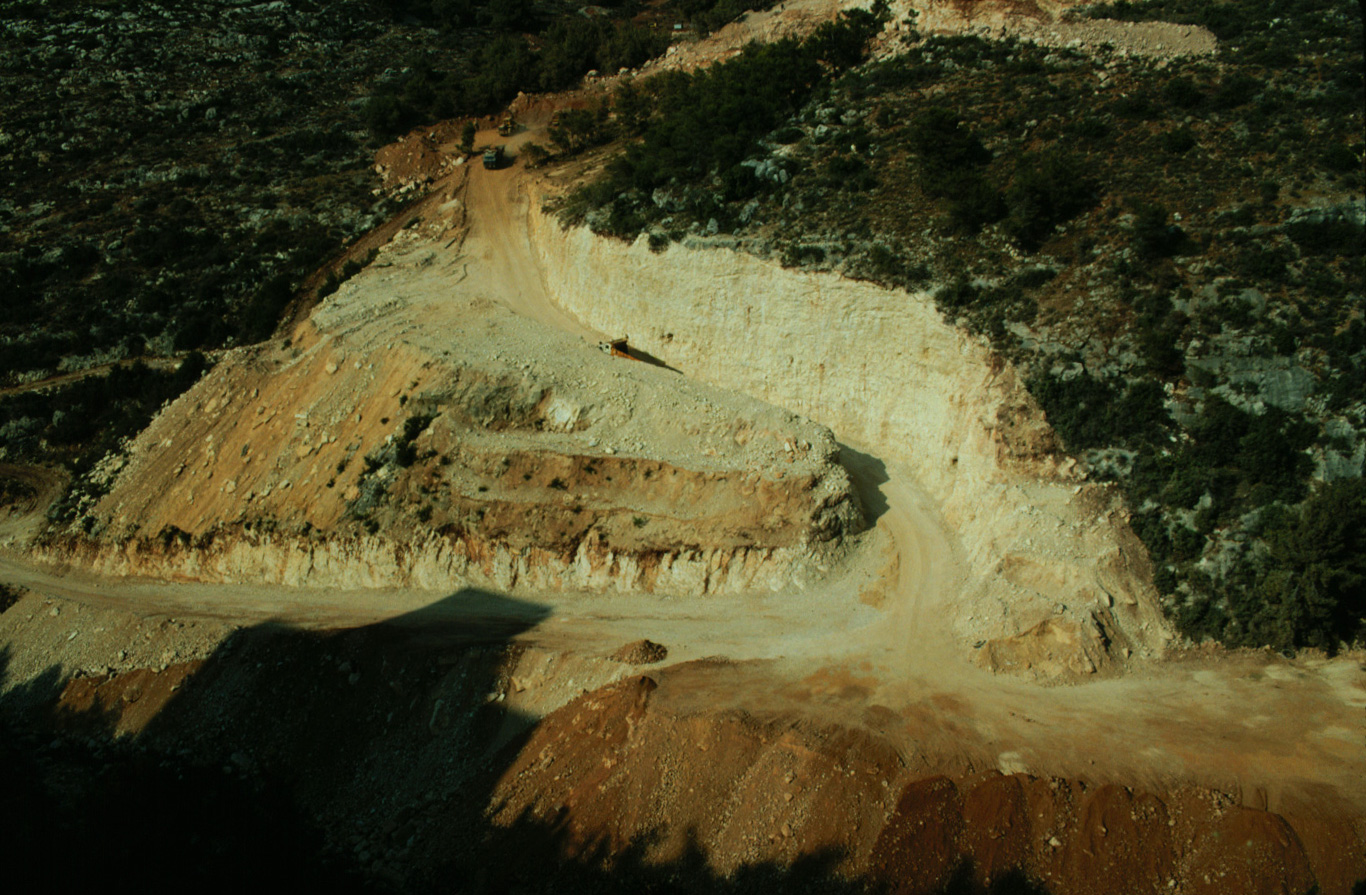
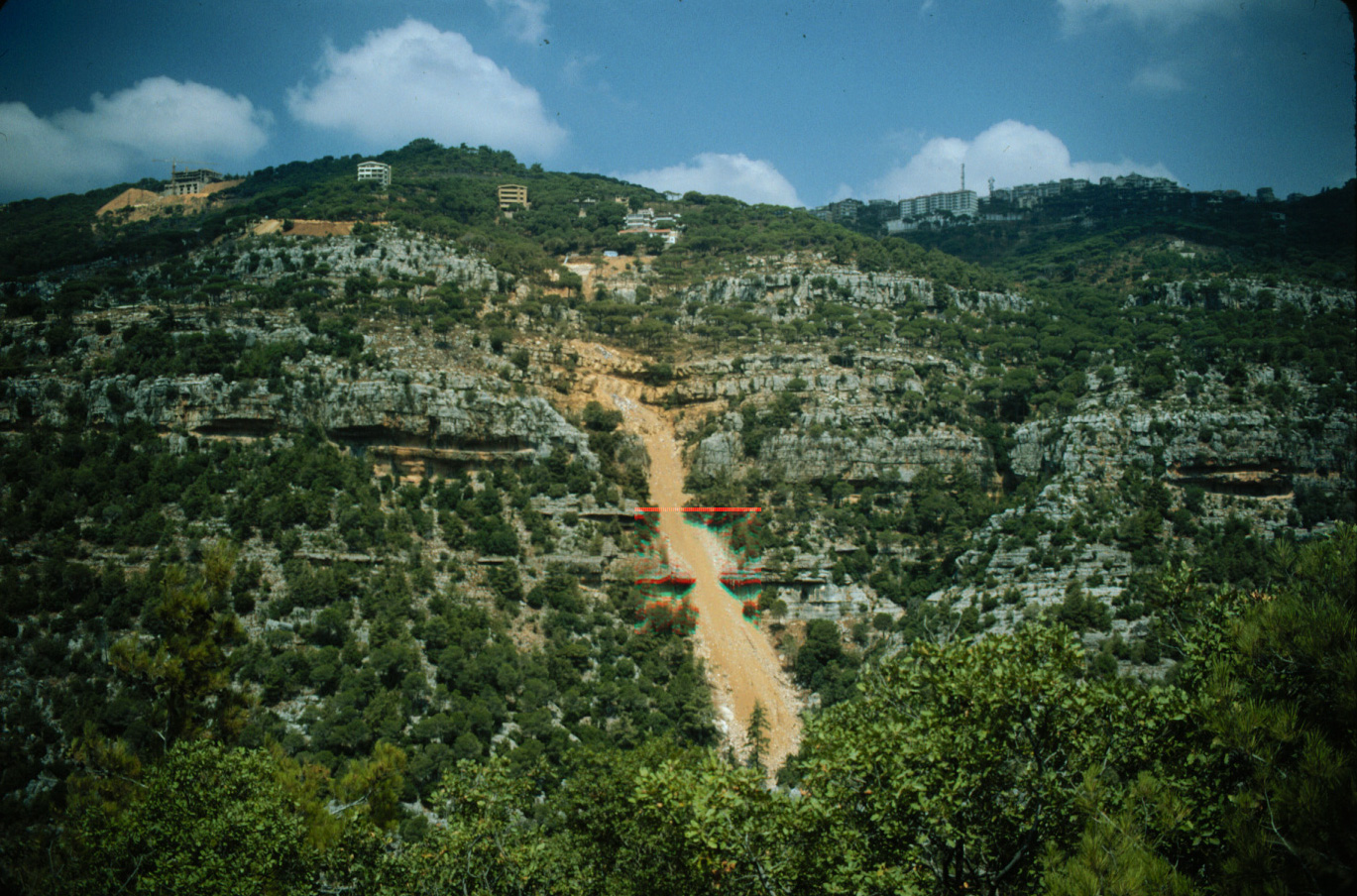
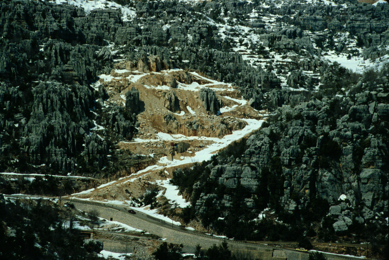
B-14 Rock quarry in gorge south of Broummana. 1995 (L)
|
B-15 Soil dumped into gorge from Broummana. 1995 (L)
|
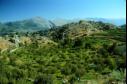
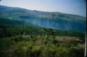
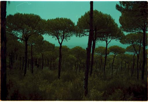
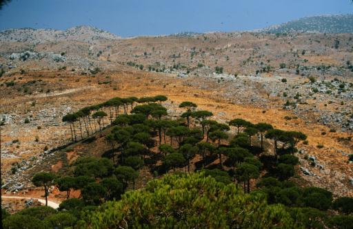
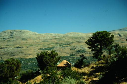
B-16 Pine forest near Arsoun. 1995 (L)
|

3-A Pine forest below Roumieh. 1983 (L)
|

4-A Pine forest below Roumieh. 1983 (L)
|
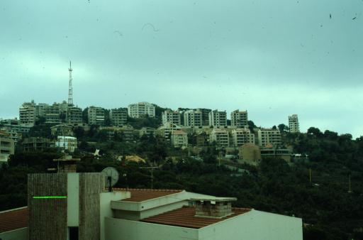
B-17 Concrete forest in Broummana. 1995 (L)
|
|
(C) Shouf Mountains, Saida area
|
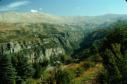
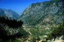
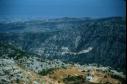
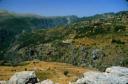
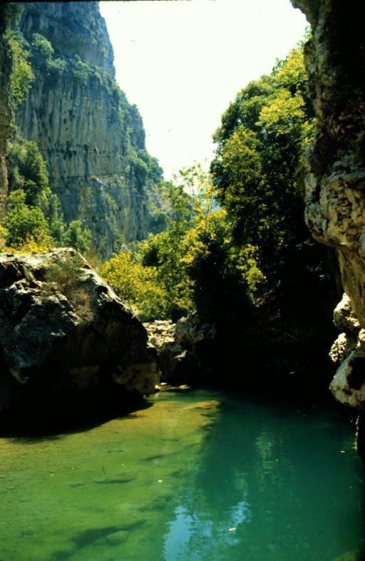
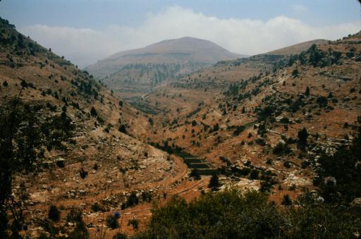
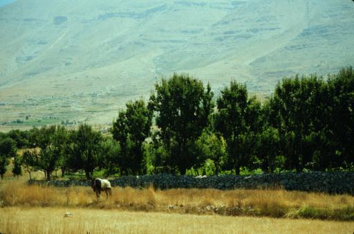
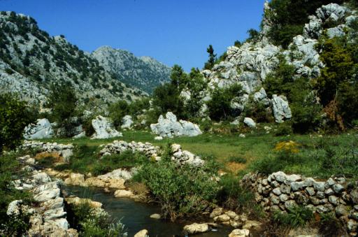
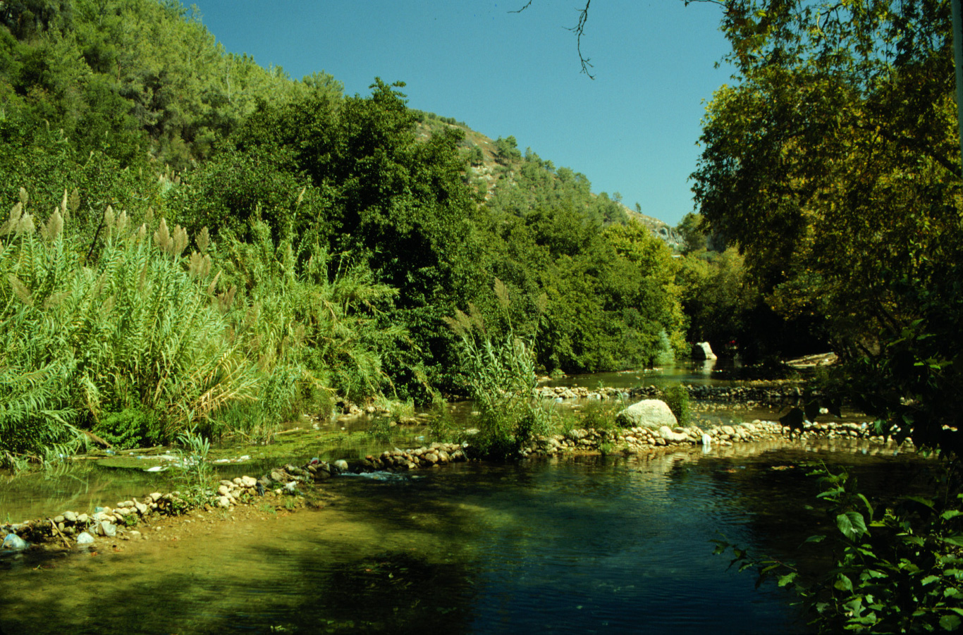
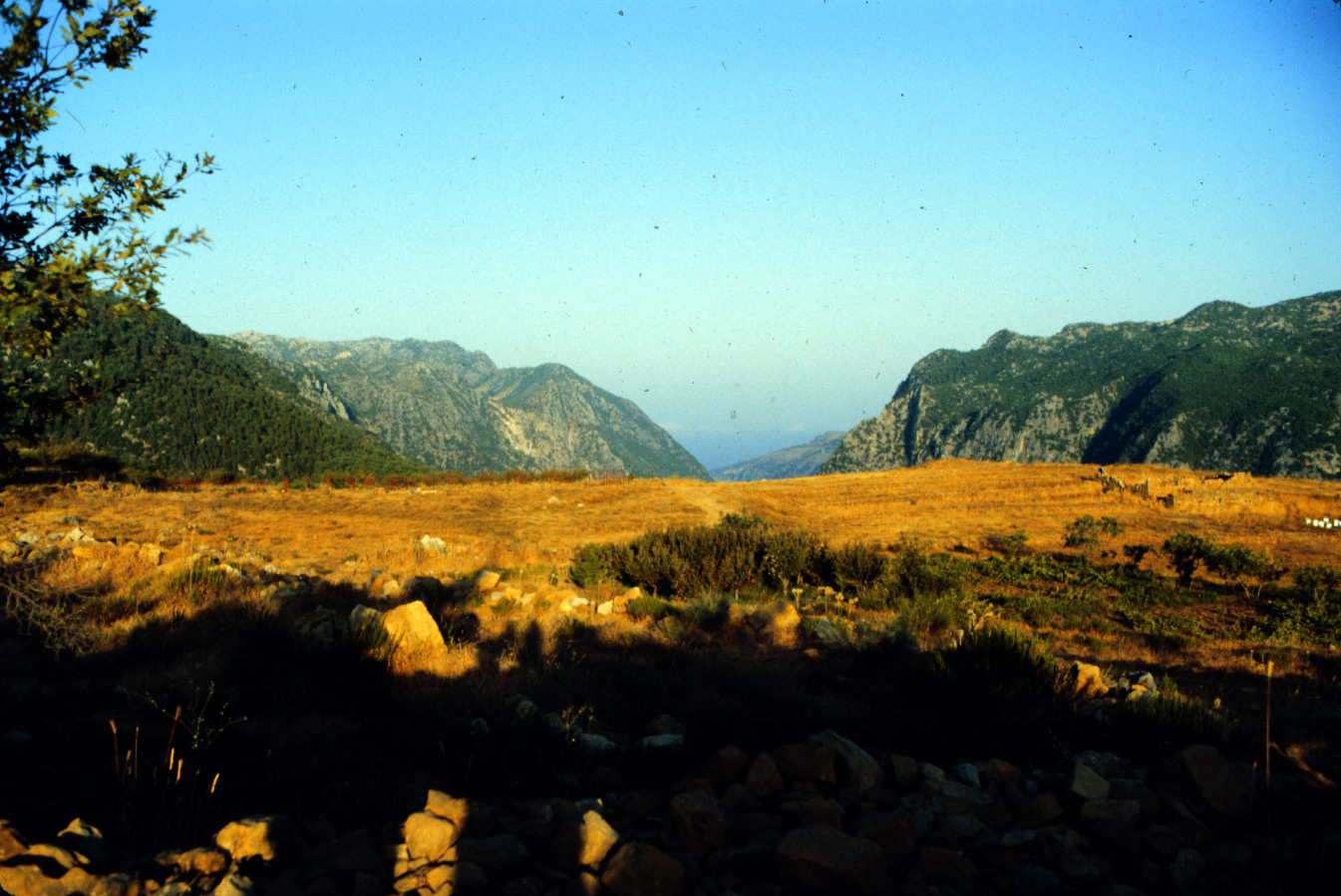
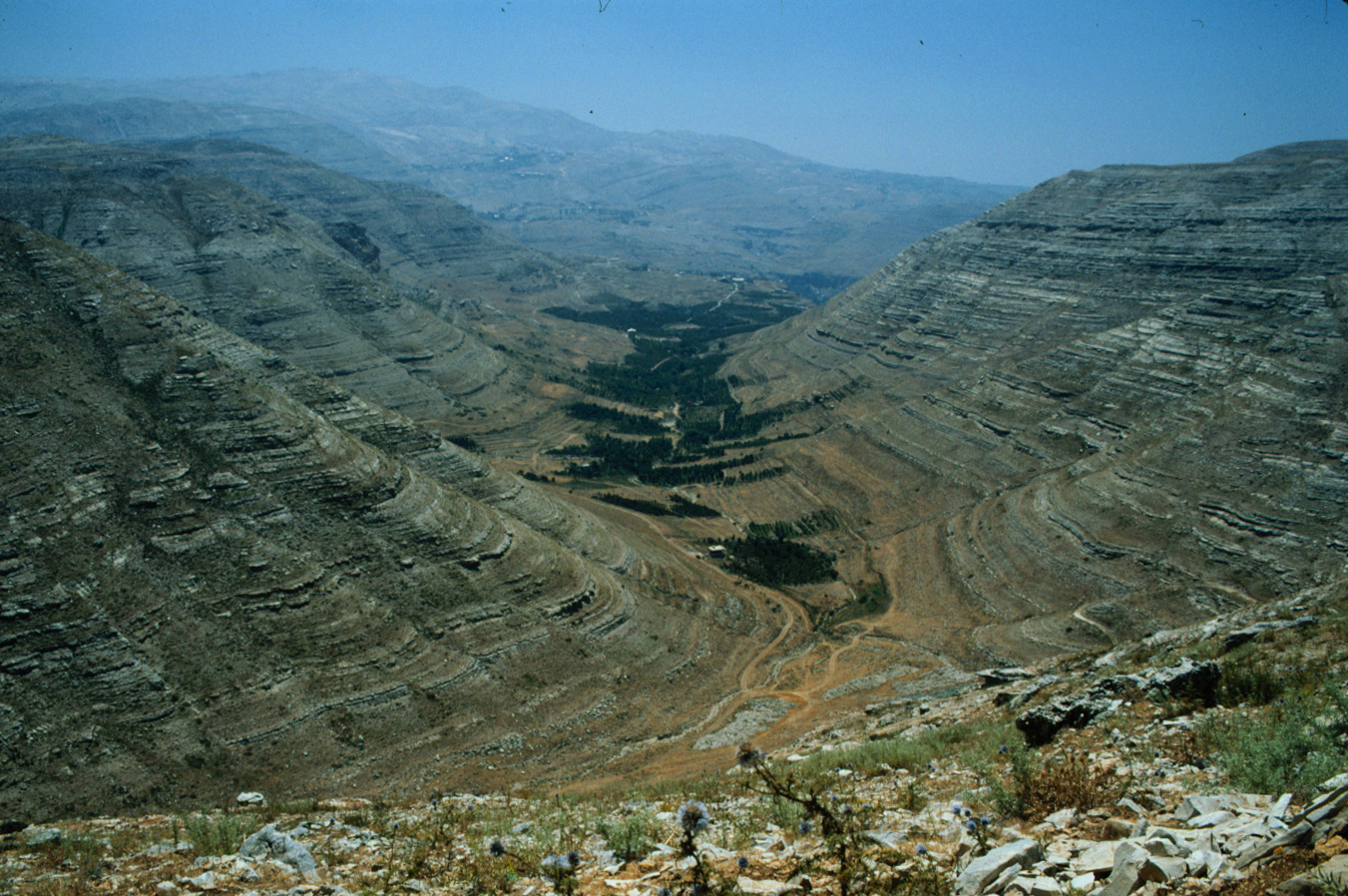
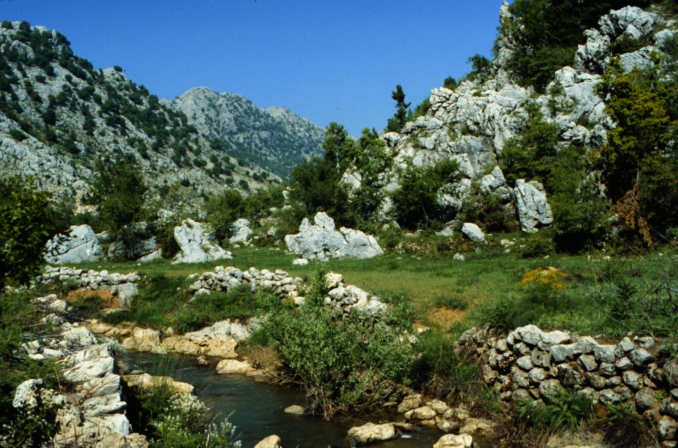
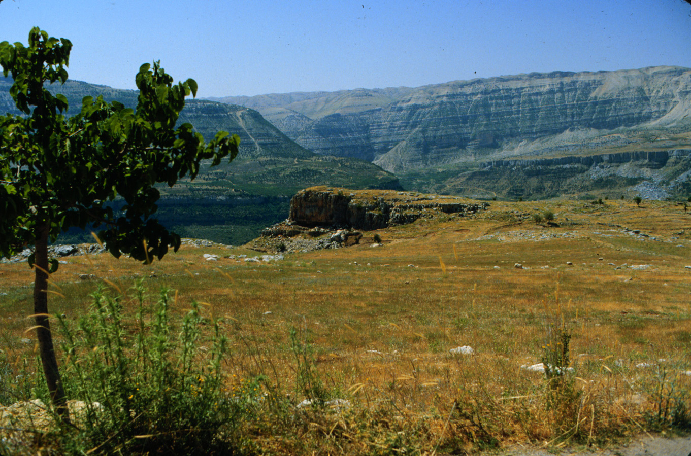
C-1 Damour River at Moltaqa el-Nahrain. 1990 (L)
|
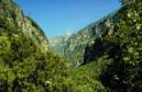
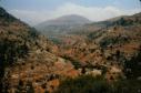
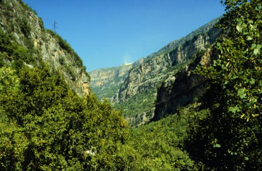
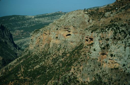
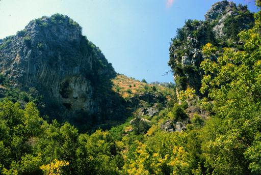
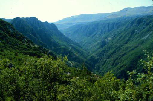
C-2 Damour River gorge near Kfar Him. 1993 (L)
|

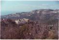
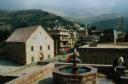
C-3 Beiteddine. 1993 (L)
|
C-4 Nabi Ayyoub near Niha. 1990 (L)
|

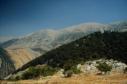
C-5 Barouk Mountain from Nabi Ayyoub. 1990 (L)
|
C-6 Pine forest near Ain Zhalta. 1995 (L)
|

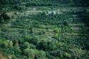
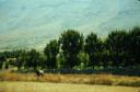
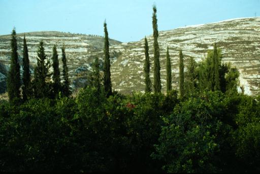
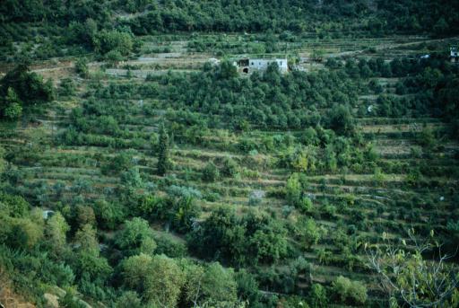
C-7 Citrus orchard east of Saida. 1993 (L)
|
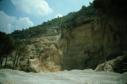
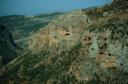
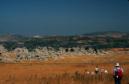
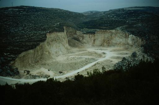
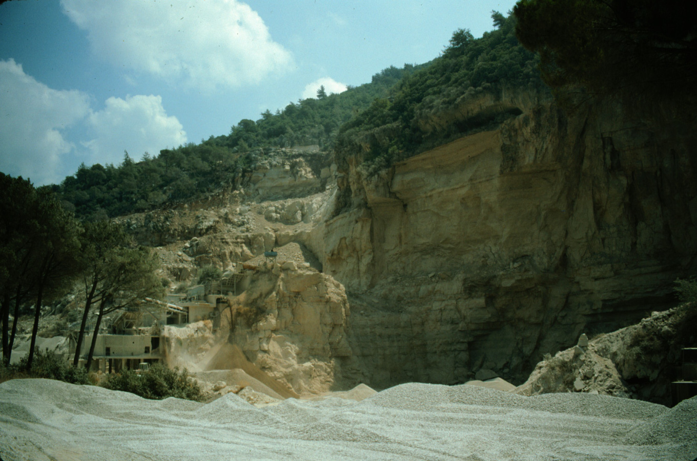
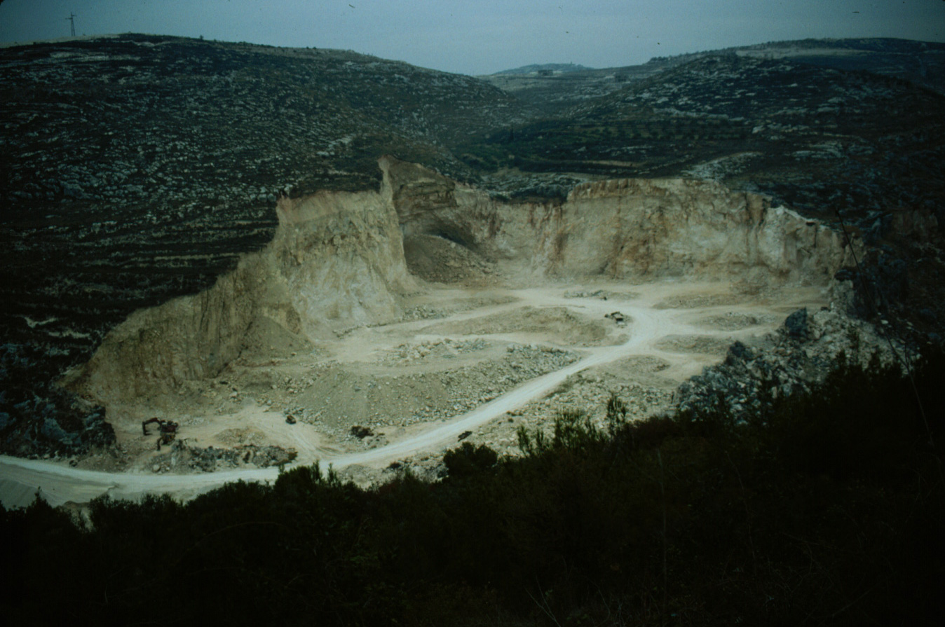
C-8 Gravel quarry east of Saida. 1993 (L)
|
|
(D) Lower Ibrahim River gorge
|
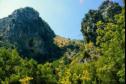
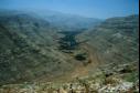
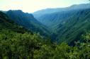
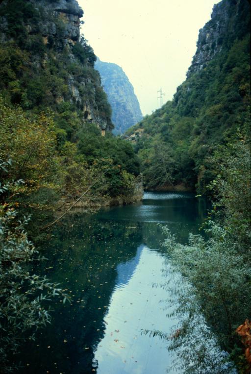
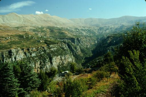
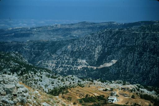
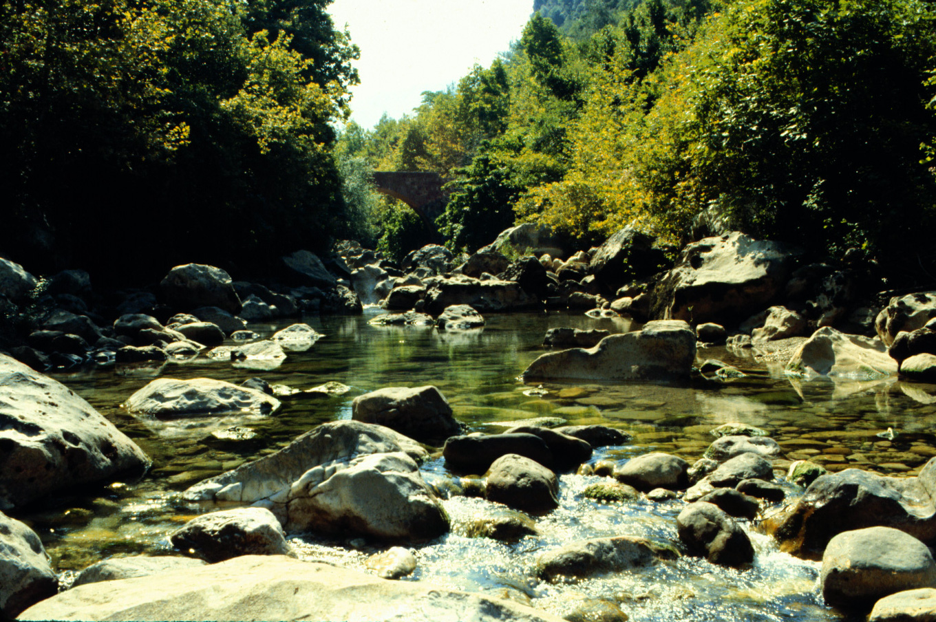
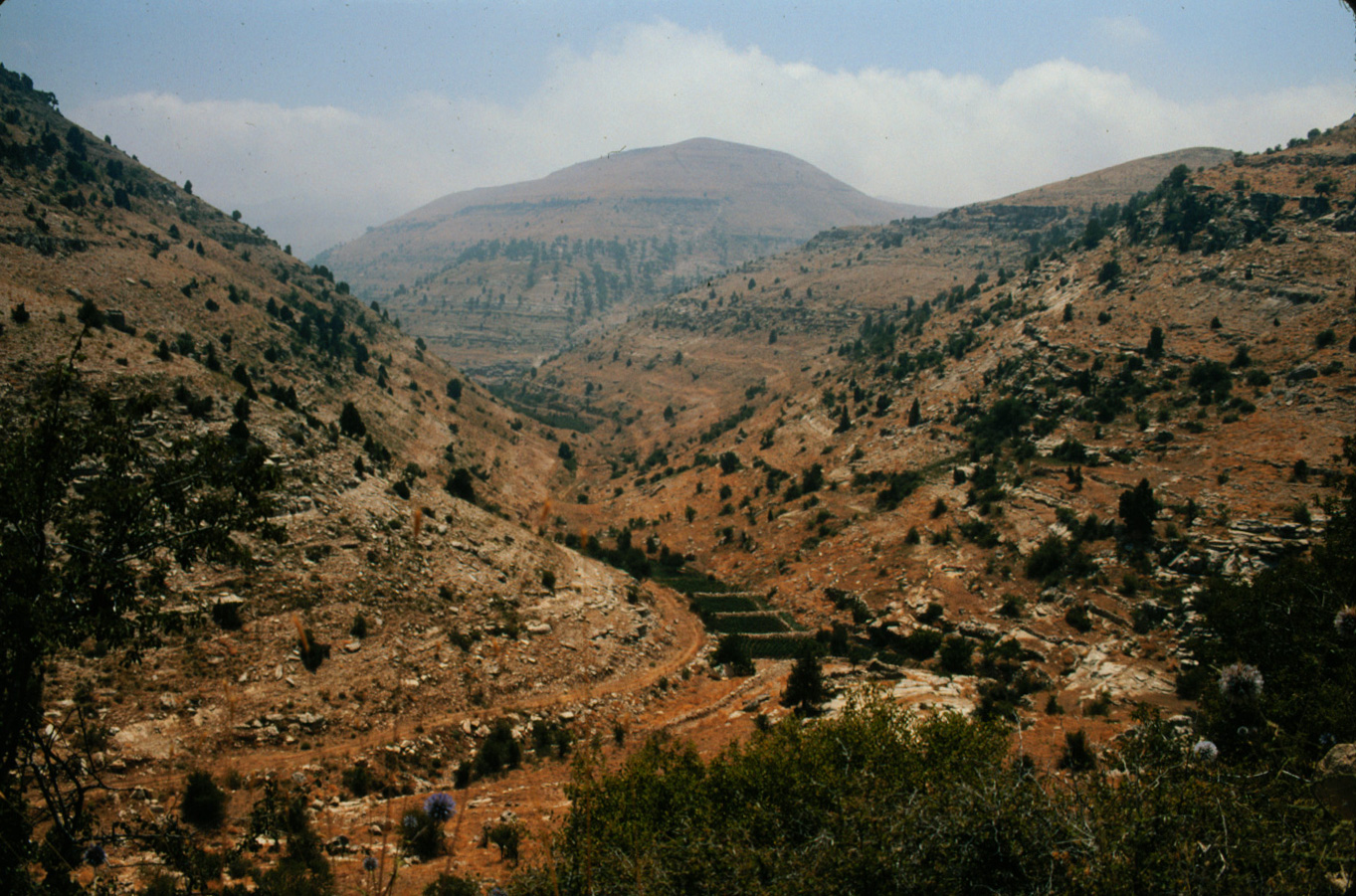
D-1 Ibrahim River gorge. 1983 (L)
|

D-2 Autumn in Ibrahim River gorge. 1983 (L)
|
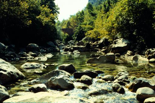
D-3 Ottoman bridge in Ibrahim River gorge. 1983 (L)
|

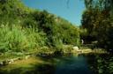
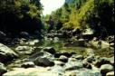
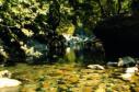
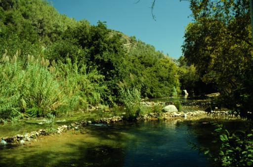
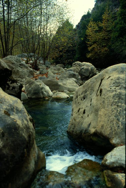
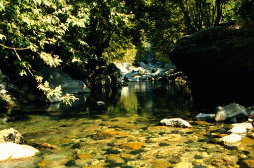
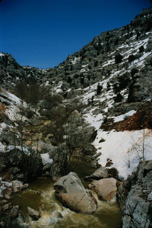
D-4 Pool in Ibrahim River gorge. 1983 (L)
|

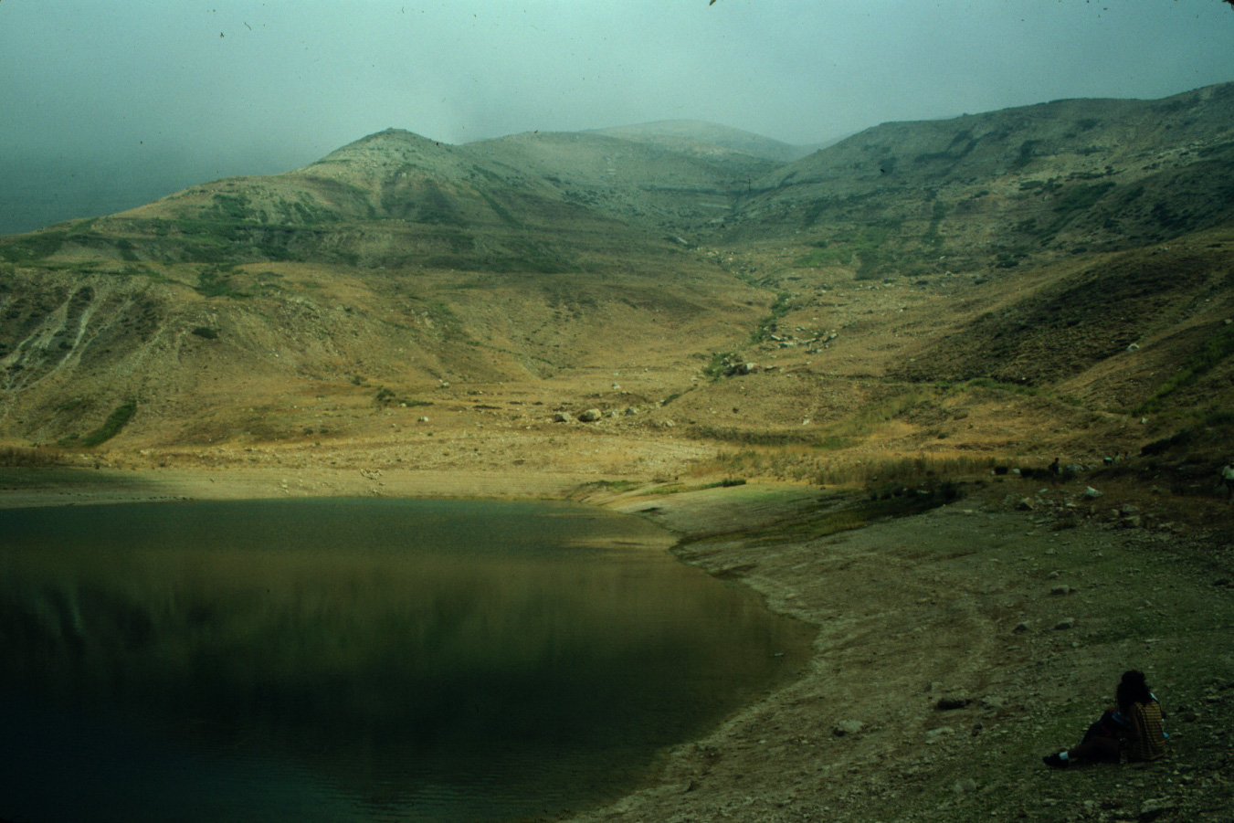
D-5 Reservoir in Ibrahim River gorge. 1983 (L)
|

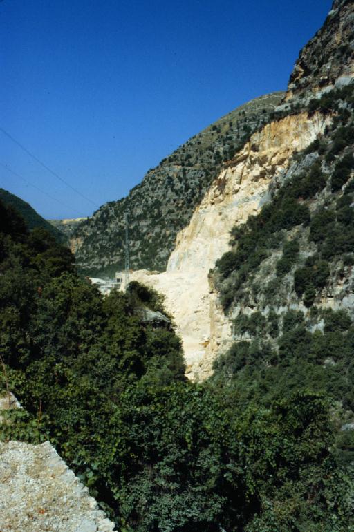
D-6 Gravel quarry in Ibrahim River gorge. 1983 (L)
|
|
(E) Qadisha gorge, Mseilha castle
|
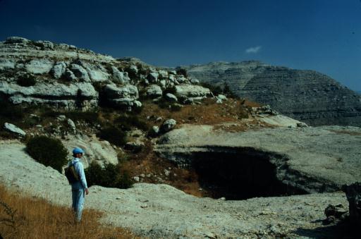
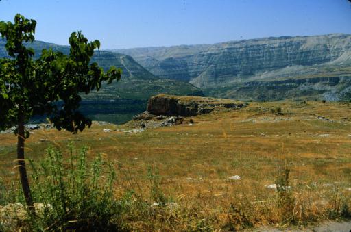
E-1 Qadisha gorge from Dimane. 1993 (L)
|
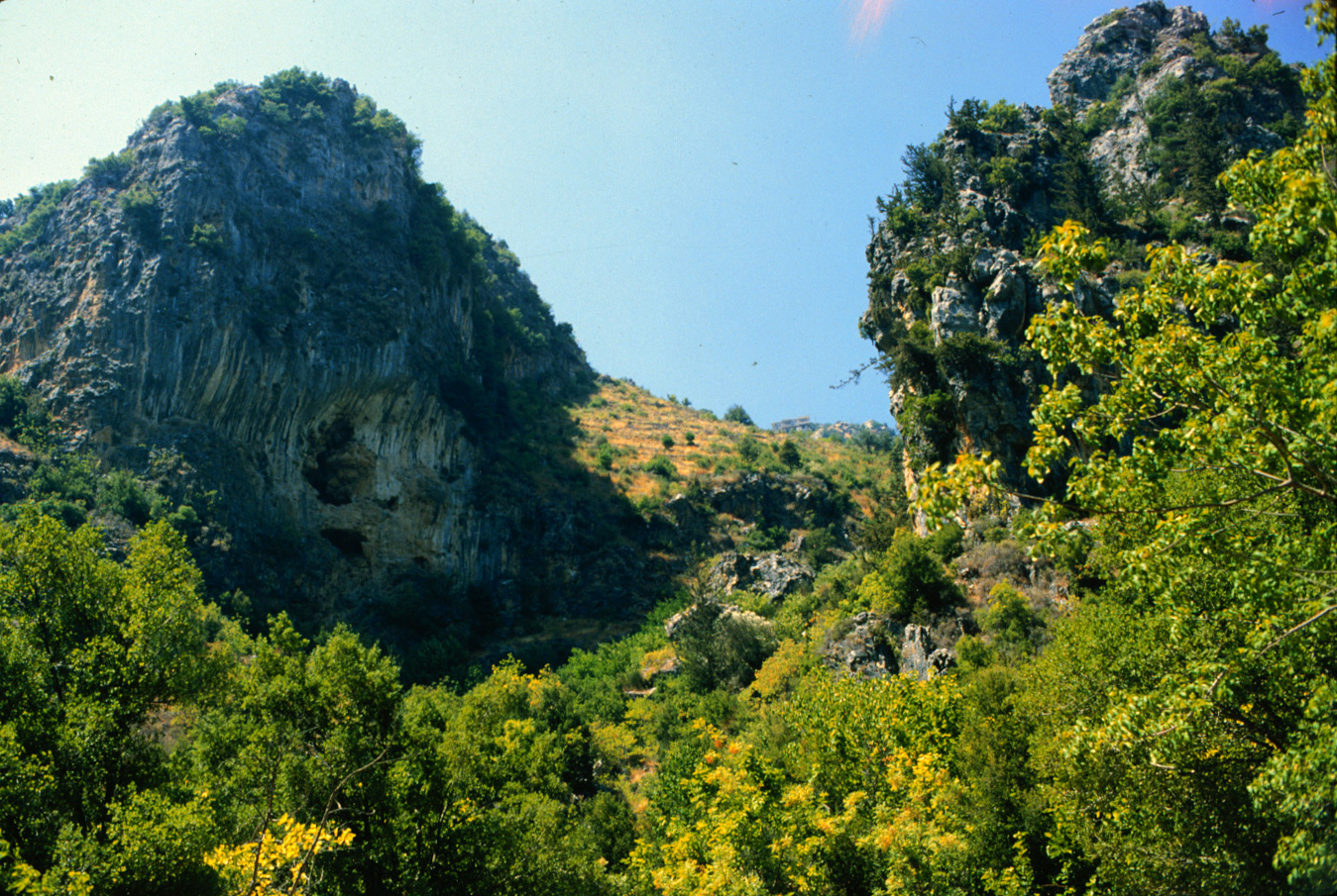
E-2 Caves in Qadisha gorge from Dimane. 1993 (L)
|
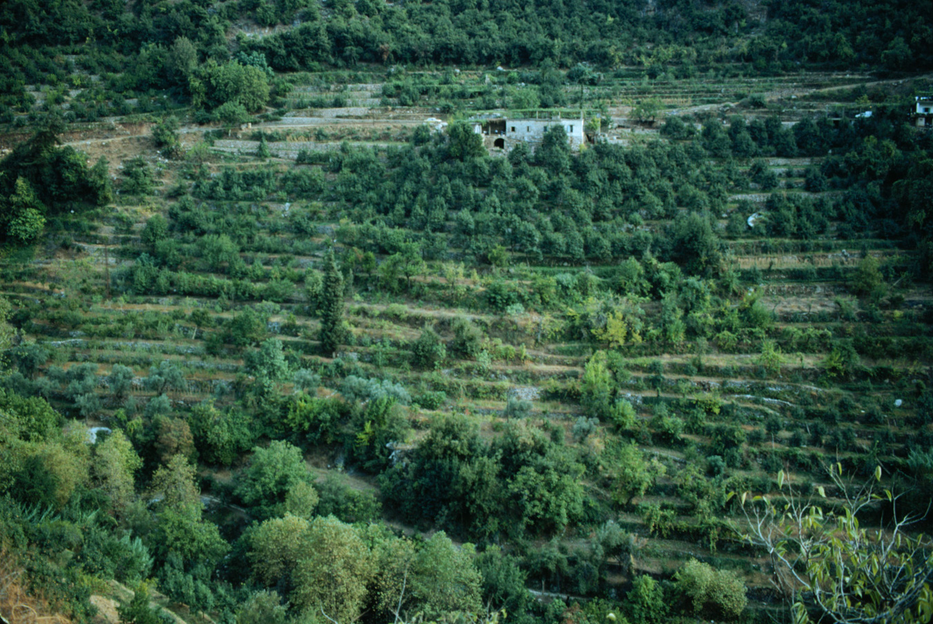
E-3 Terraced orchards at Deir Qozhayya. 1993 (L)
|
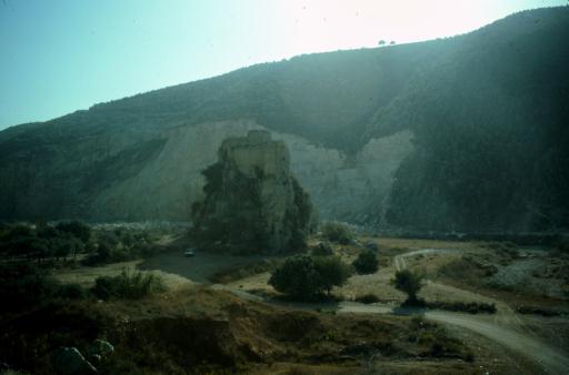
E-4 Gravel quarry at Mseilha castle. 1993 (L)
|
E-5 Ancient bridge at Mseilha next to quarry. 1993 (L)
|
|
(F) Upper Ibrahim River gorge hike
|
F-1 Ibrahim River gorge from Lassa. 1984 (L)
|

F-2 At edge of inner Ibrahim River gorge near Lassa. 1984 (L)
|
F-3 Janneh in Ibrahim River gorge, below Qartaba. 1984 (L)
|

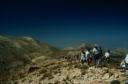
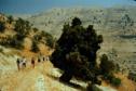
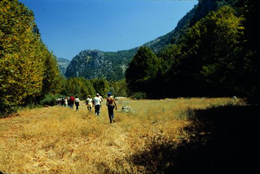
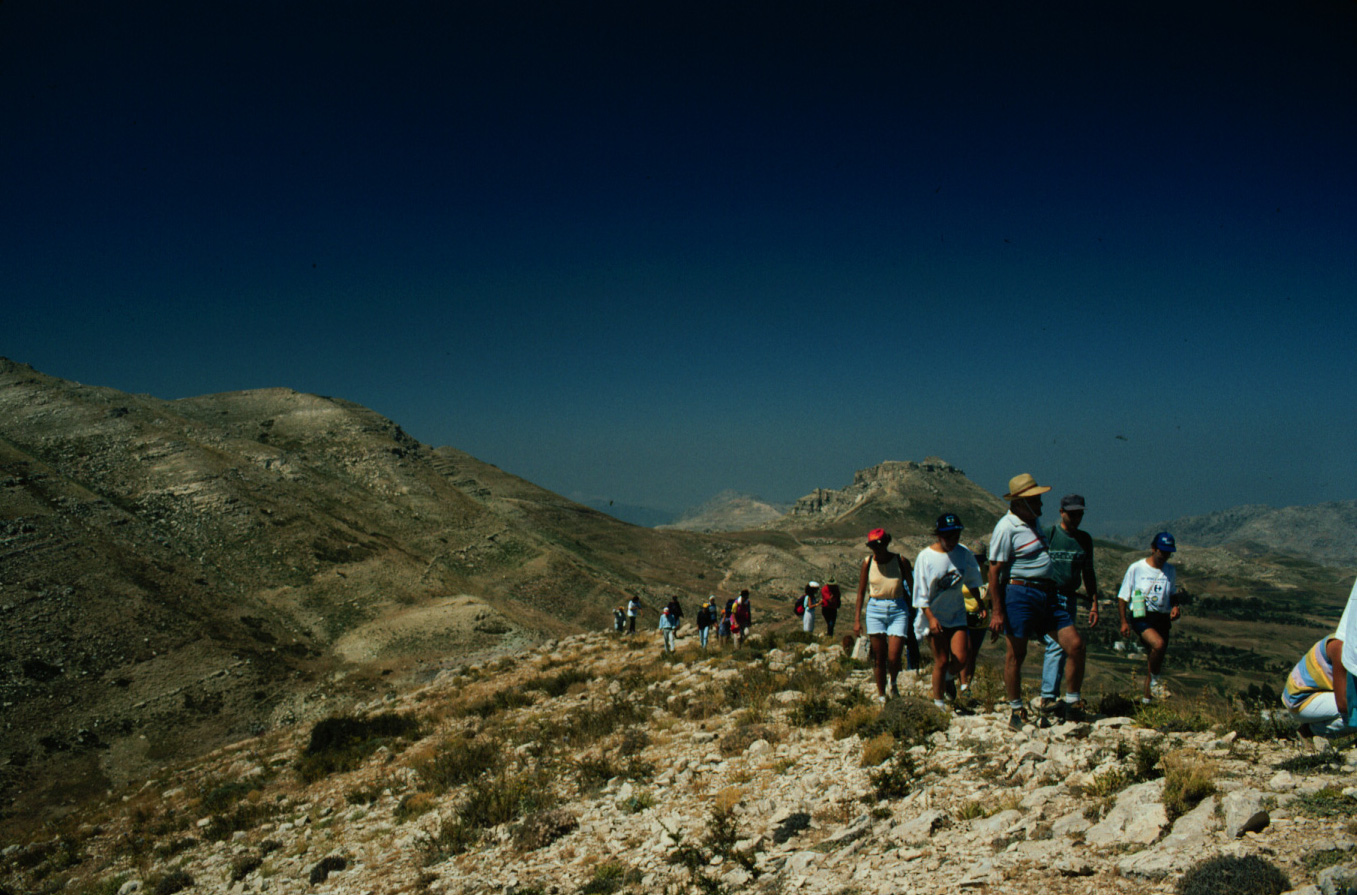
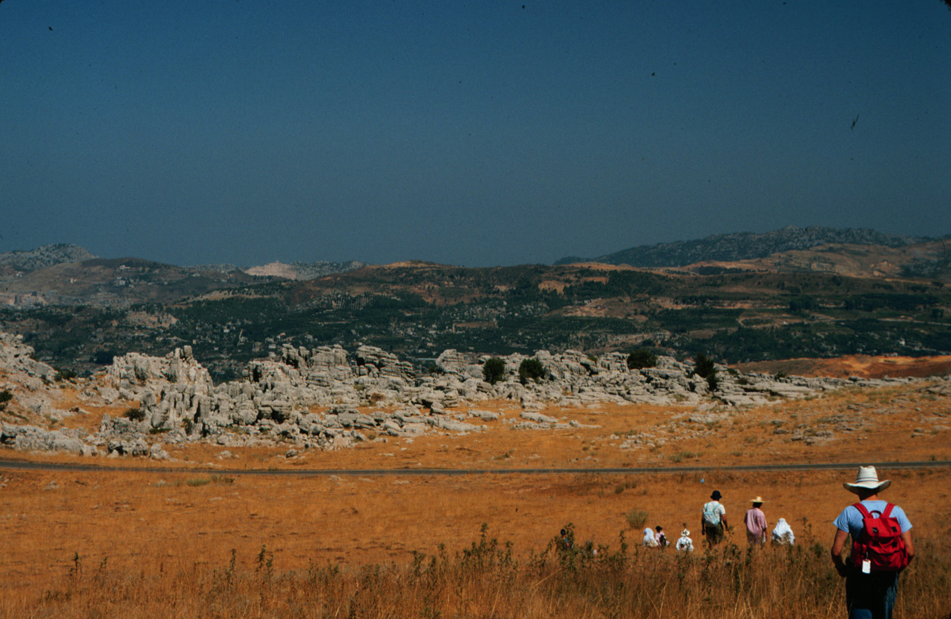
F-4 Friends of Nature hikers east of Janneh. 1984 (L)
|
F-5 Cliffs below Qartaba. 1984 (L)
|
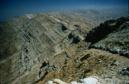
F-6 Ibrahim River gorge below Qartaba. 1984 (L)
|

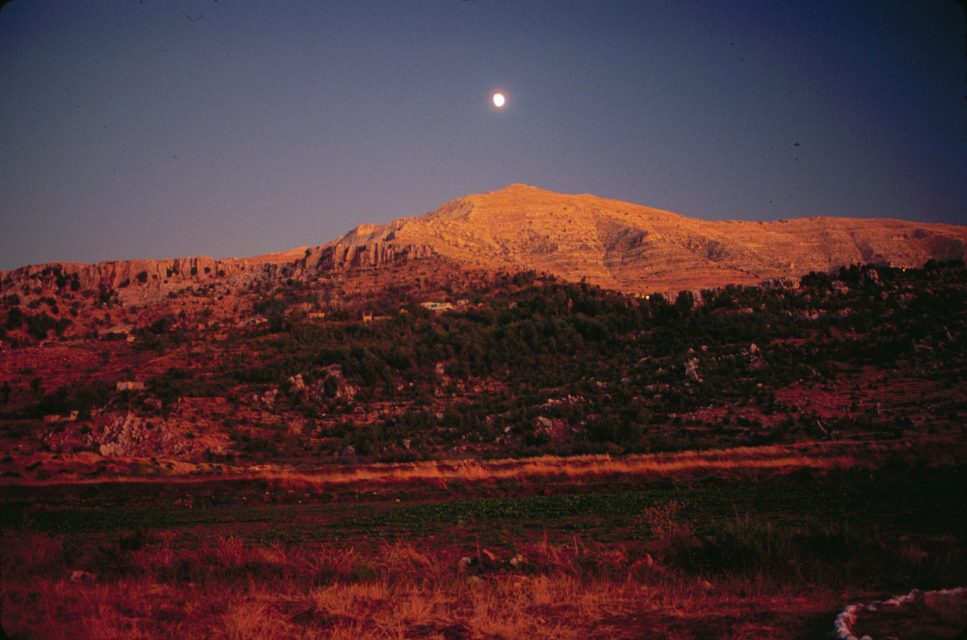
F-7 Moonrise over Lassa. 1984 (L)
|
|
(G) Laqlouq hike
|
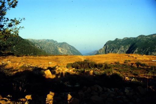
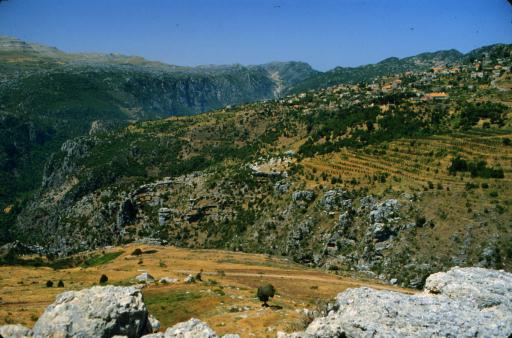
G-1 View west from Laqlouq. 1995 (L)
|
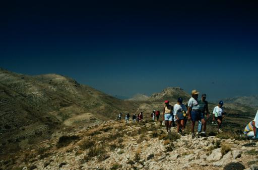
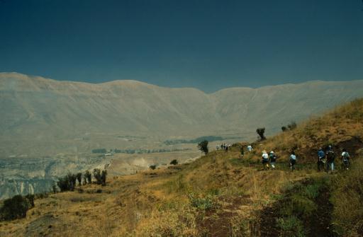
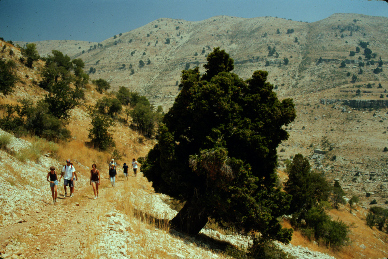
G-2 Club de Vieux Sentiers hikers on Jabal Tannourine. 1995 (L)
|
G-3 Jabal Tannourine. 1995 (L)
|
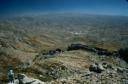
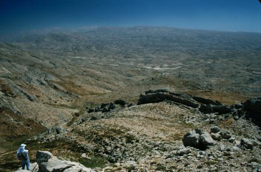
G-4 View from Jabal Tannourine to Lebanon's watershed. 1995 (L)
|
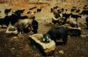
G-5 Goats at well east of Jabal Tannourine. 1995 (L)
|

G-6 Willow tree in Wadi es-Safir east of Jabal Tannourine. 1995 (L)
|
G-7 Wadi es-Safir, looking south towards Aaqoura. 1996 (L)
|
G-8 Huge juniper in Wadi es-Safir tributary. 1995 (L)
|
|
(G) Keserwan hike
|
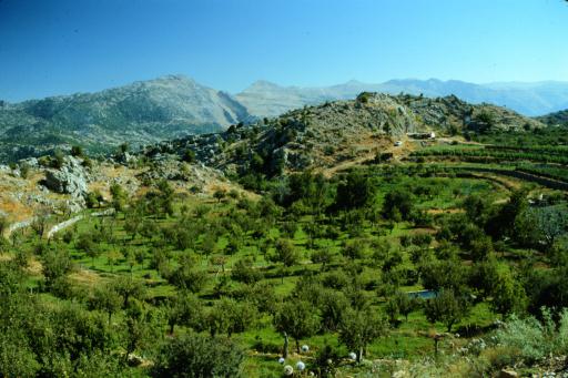
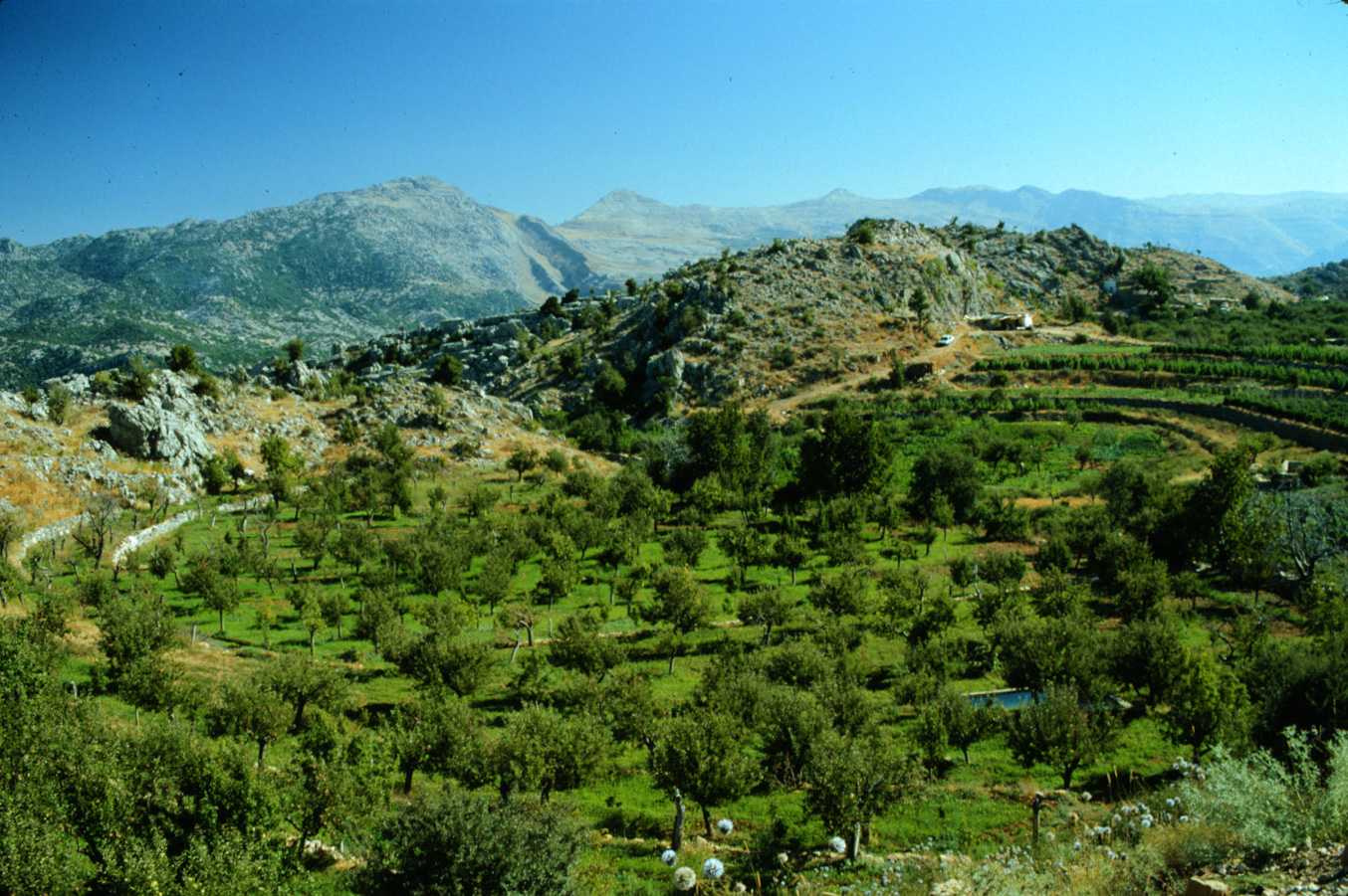
G-9 Circular orchard near Qehmez in the Keserwan. 1995 (L)
|
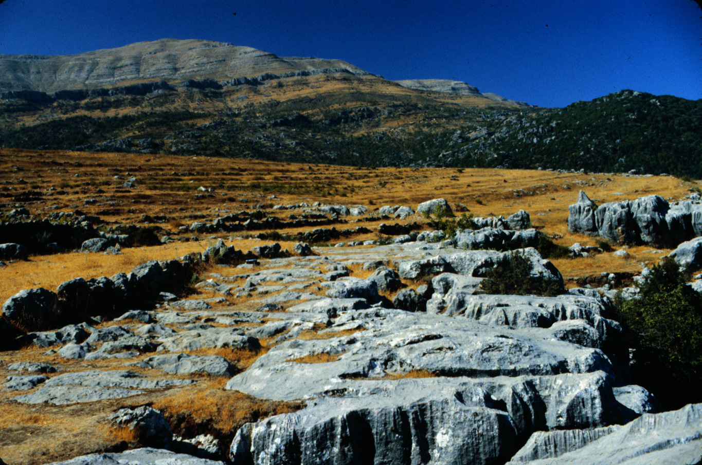
G-10 Karst limestone above Qehmez. 1995 (L)
|
G-11 Gravel quarry in the heart of Ibrahim River gorge. 1995 (L)
|
G-12 Orchards above Faraya-village. 1995 (L)
|

G-13 Limestone sinkholes above Faraya-village. 1995 (L)
|
G-14 Limestone sinkhole above Hrajel. 1995 (L)
|
|
(G) Hasroun-Bqaa Kafra hike
|
G-15 Hasroun, looking north. 1995 (L)
|
G-16 Orchards above Hasroun. 1995 (L)
|
G-17 Poplar tree above Bqaa Kafra. 1995 (L)
|

G-18 Club de Vieux Sentiers hikers near The Cedars. 1995 (L)
|
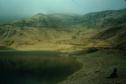
G-19 Reservoir west of The Cedars. 1995 (L)
|
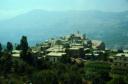
G-20 Bqaa Kafra. 1995 (L)
|
G-21 Bqaa Kafra from Mar Sharbel convent. 1995 (L)
|
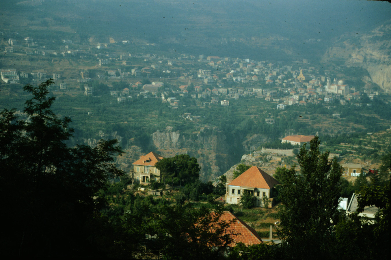
G-22 Bsharri from Hasroun. 1995 (L)
|
|
(G) Baskinta-Faqra hike
|
G-23 Baskinta from cliff north of it. 1995 (L)
|
G-24 Club de Vieux Sentiers hikers above Baskinta. 1995 (L)
|
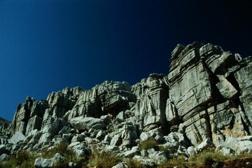
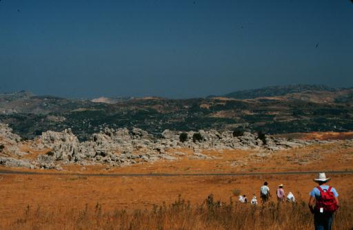
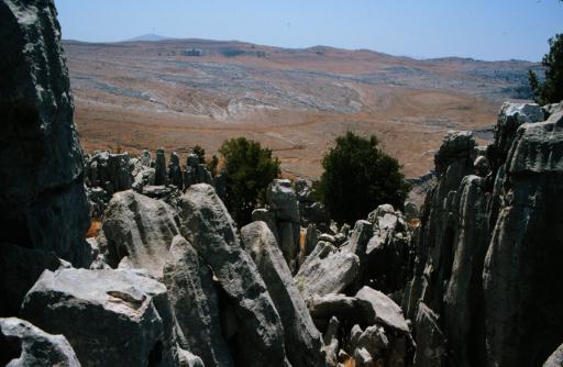
G-25 Karst limestone formations at Faqra. 1995 (L)
|

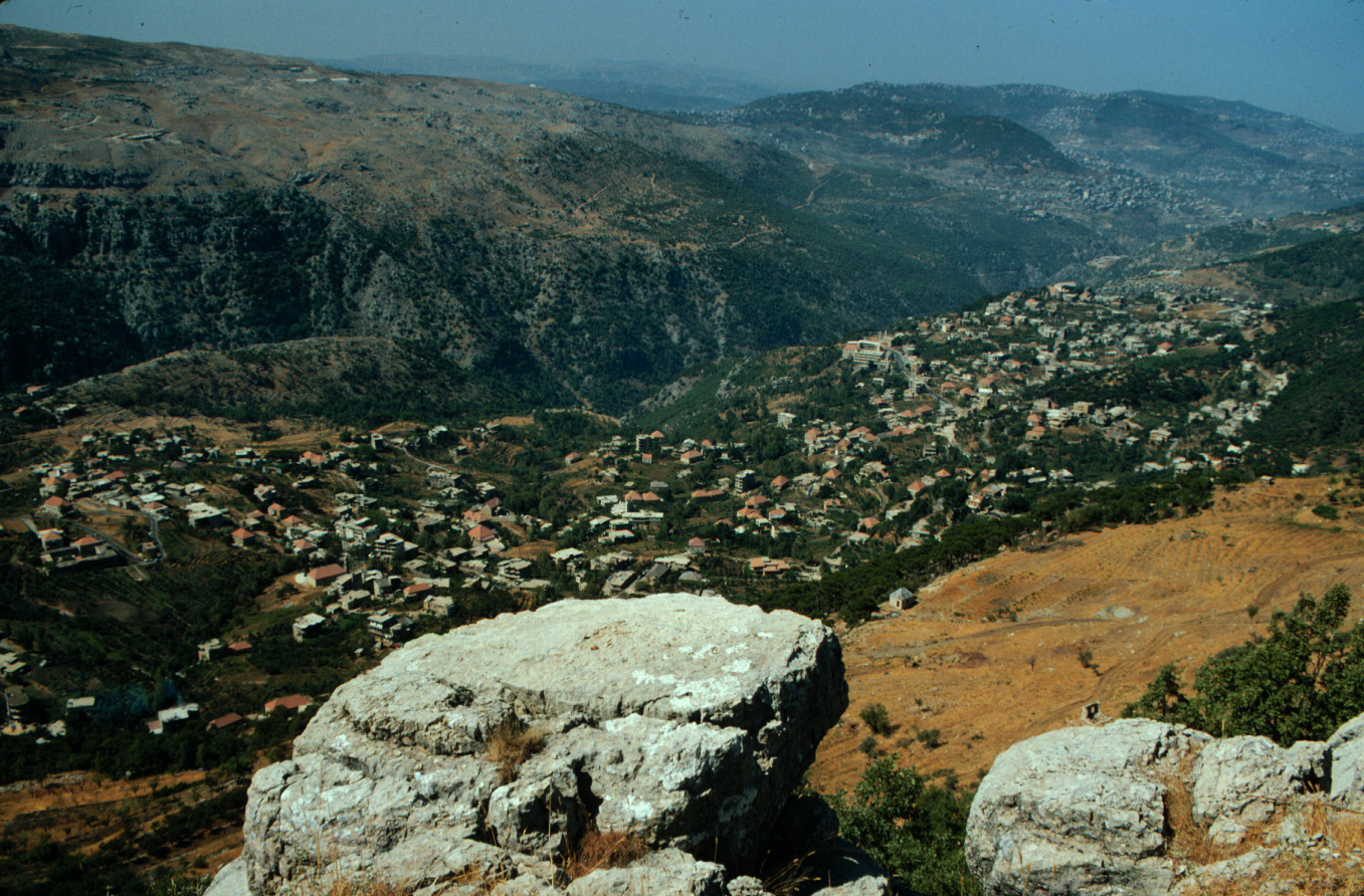
G-26 Mazra'at Kfardebian from Faqra. 1995 (L)
|
|
(H) Keserwan scenery
|
H-1 View south from S'haile across Dog River gorge. 1983 (L)
|

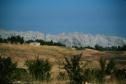
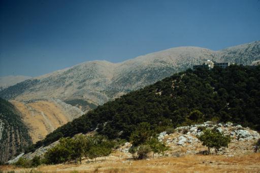
H-2 Mount Sannine from Faitroun (Satellity site). 1983 (L)
|
H-3 View north from Faqra to Hrajel. 1983 (L)
|

H-4 Gorge between Faitroun and Mazra'at Kfardebian. 1983 (L)
|

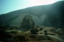
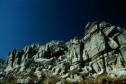
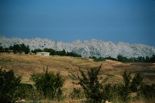
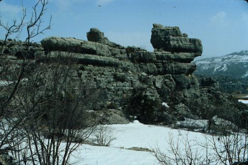
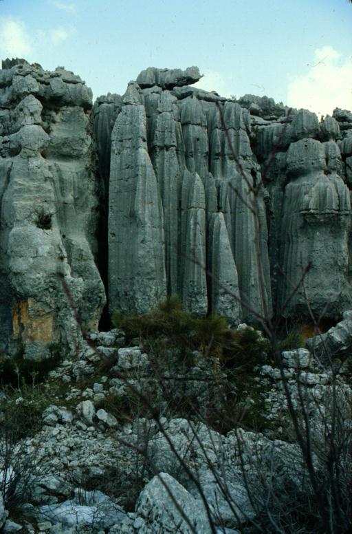
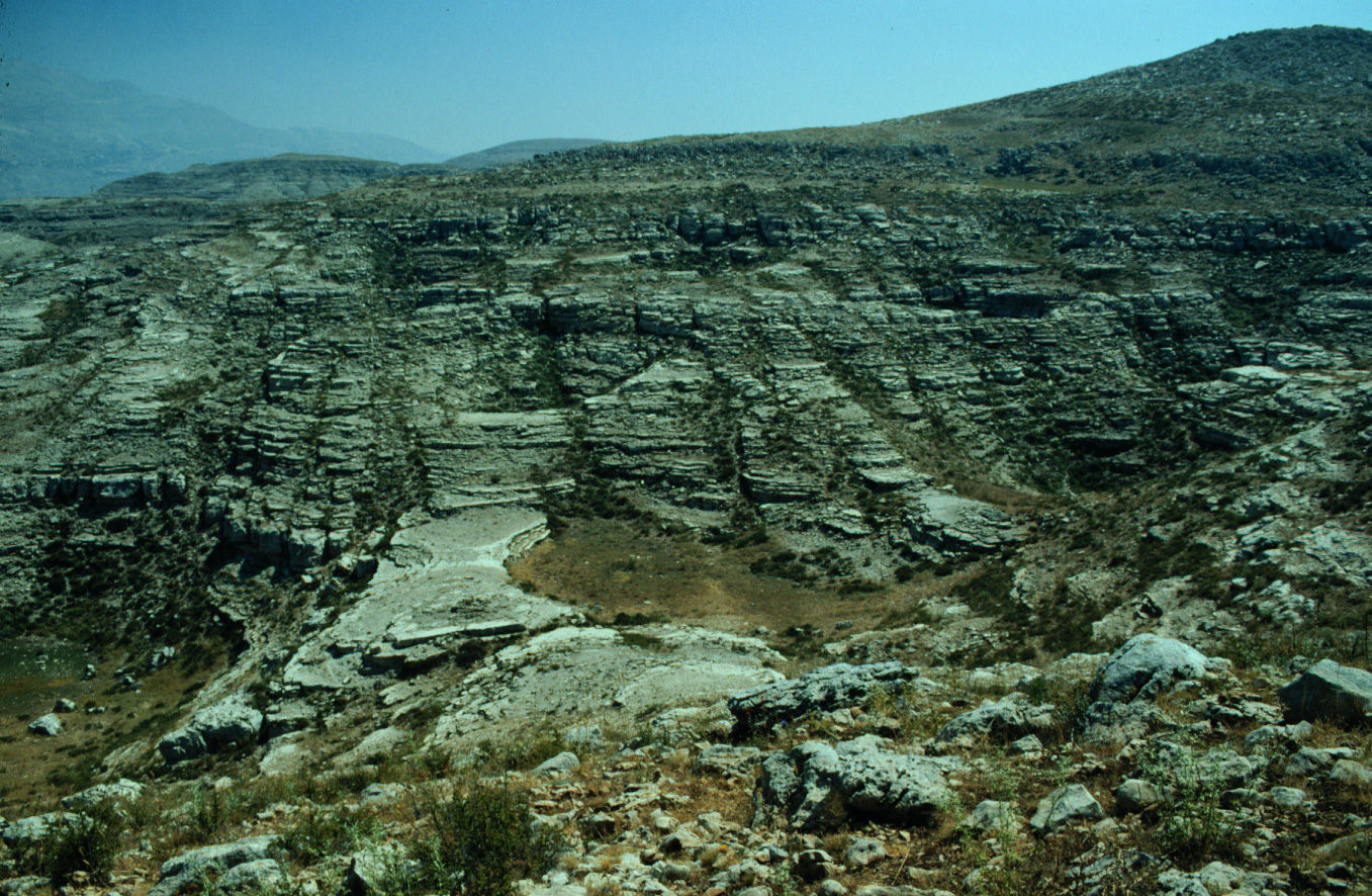
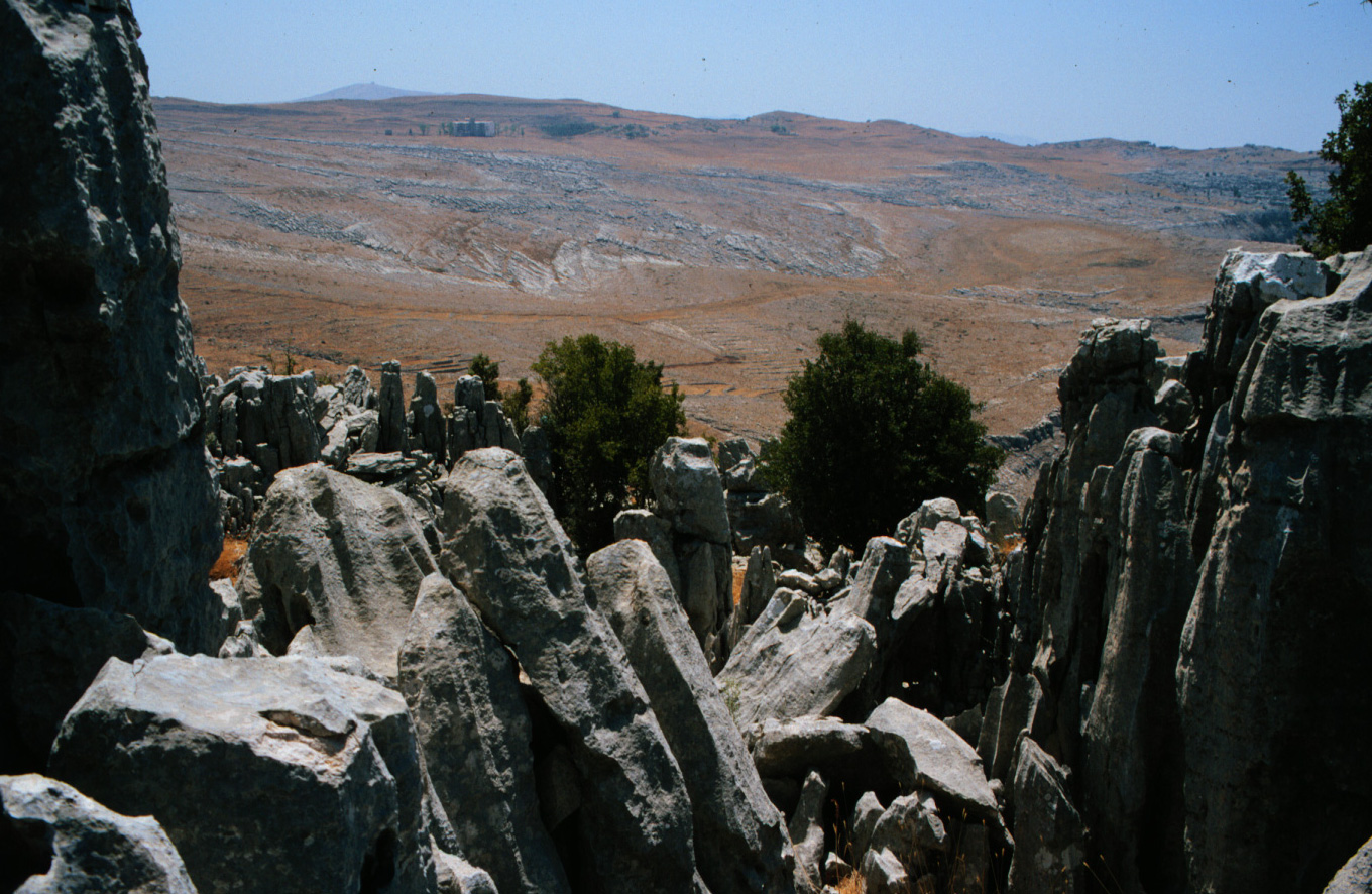
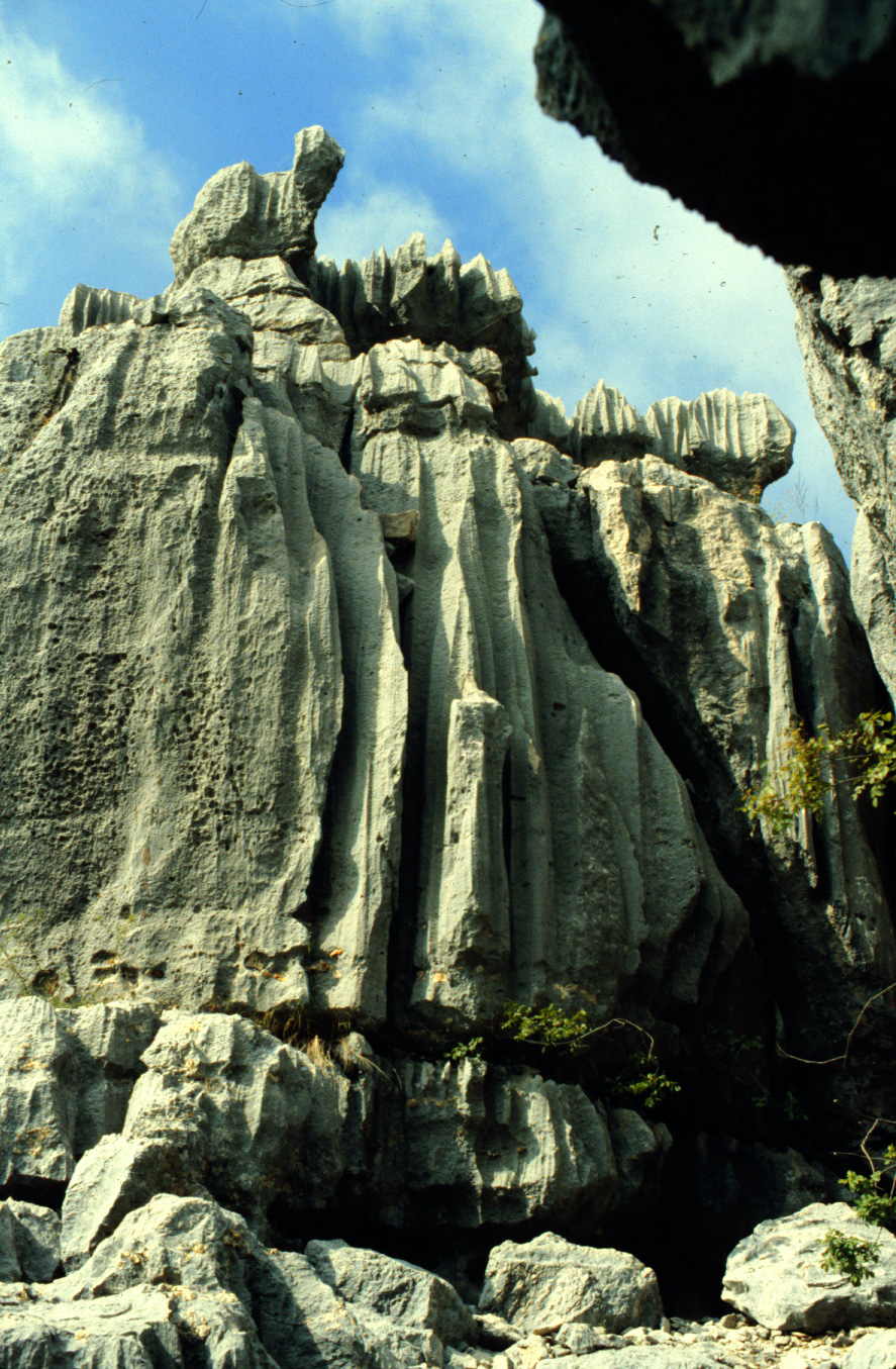
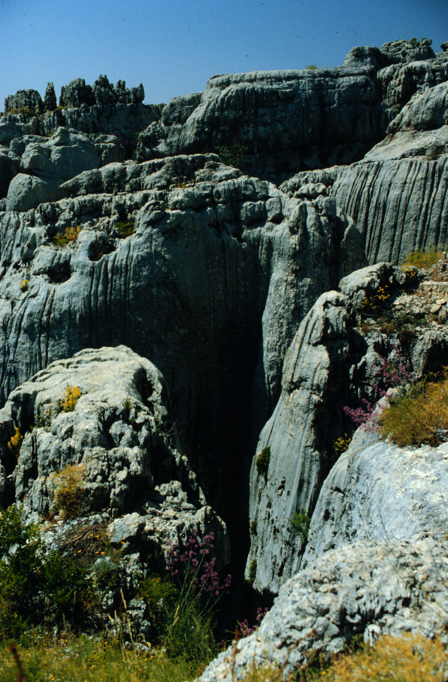
H-5 Karst limestone formations east of Faitroun. 1983 (L)
|

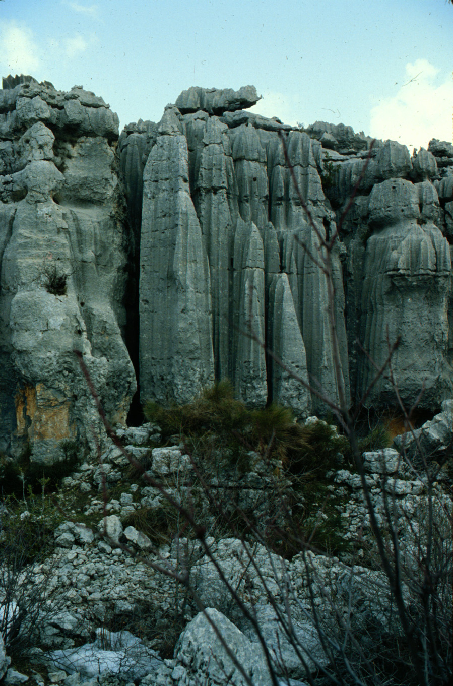
H-6 Karst limestone "pipe organ" east of Faitroun. 1983 (L)
|

H-7 Karst limestone formations east of Faitroun. 1983 (L)
|

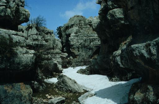
H-8 Karst limestone rock in 'Ashqout. 1983 (L)
|

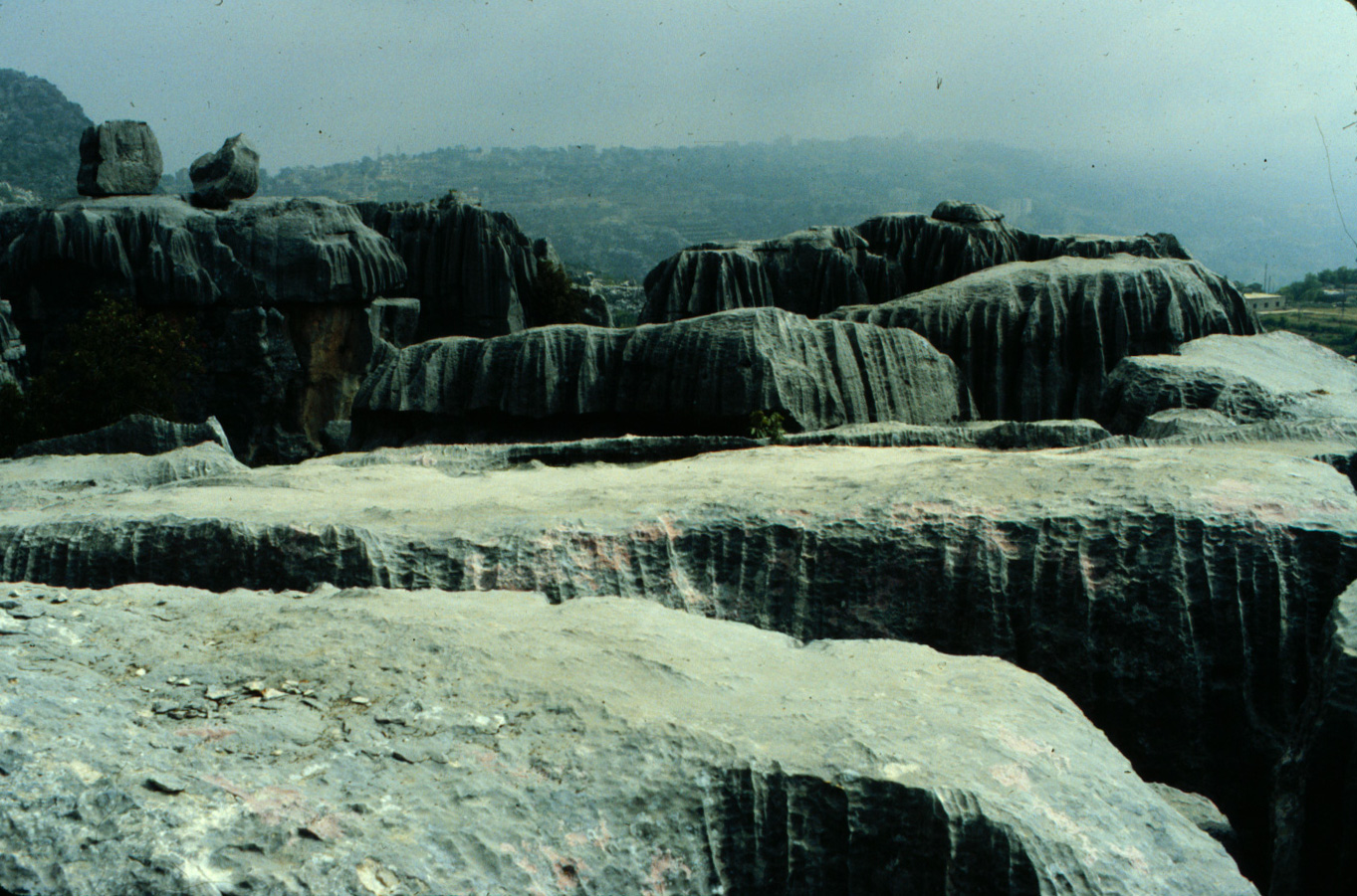
H-9 Karst limestone formations in 'Ashqout. 1983 (L)
|

H-10 Karst limestone formations in 'Ashqout. 1983 (L)
|
H-11 Satellity construction site east of Faitroun. 1983 (L)
|
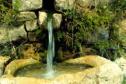
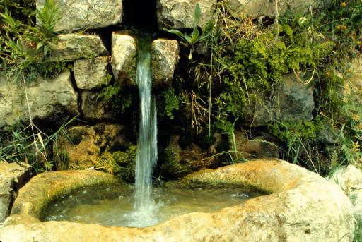
H-12 Water spring in 'Ashqout. 1983 (L)
|
H-13 Between Ehmej and Laqlouq. 1983 (L)
|
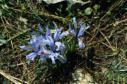
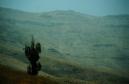
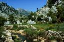
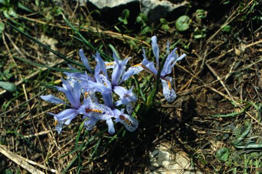
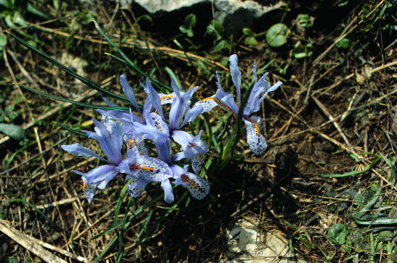
H-14 Iris in bloom near Faitroun. 1983 (L)
|
H-15 Ghosta, above the Bay of Jounieh. 1983 (L)
|
|
(I) Qartaba area
|
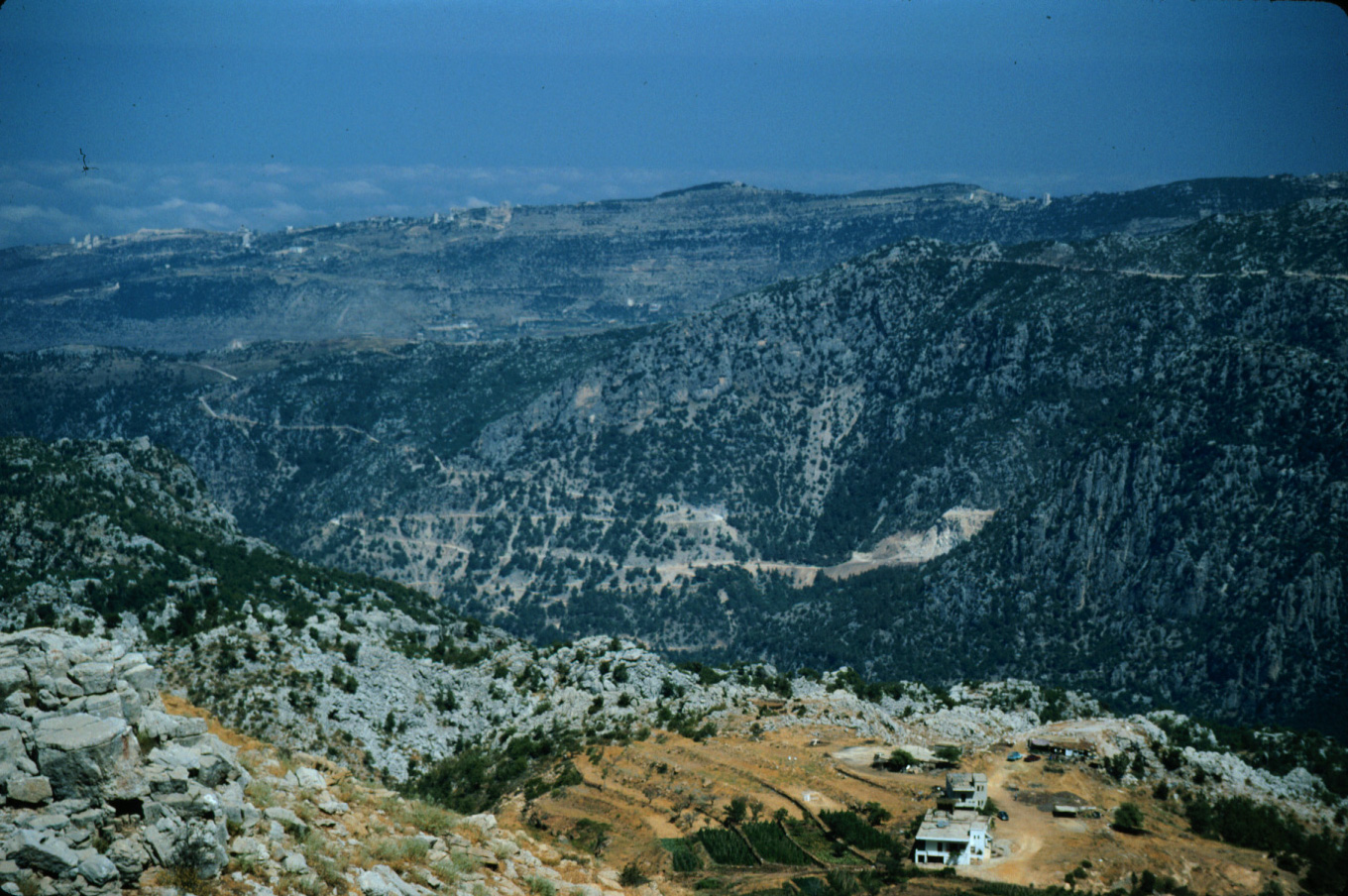
I-1 Ibrahim River gorge from road west of Qartaba. 1983 (L)
|

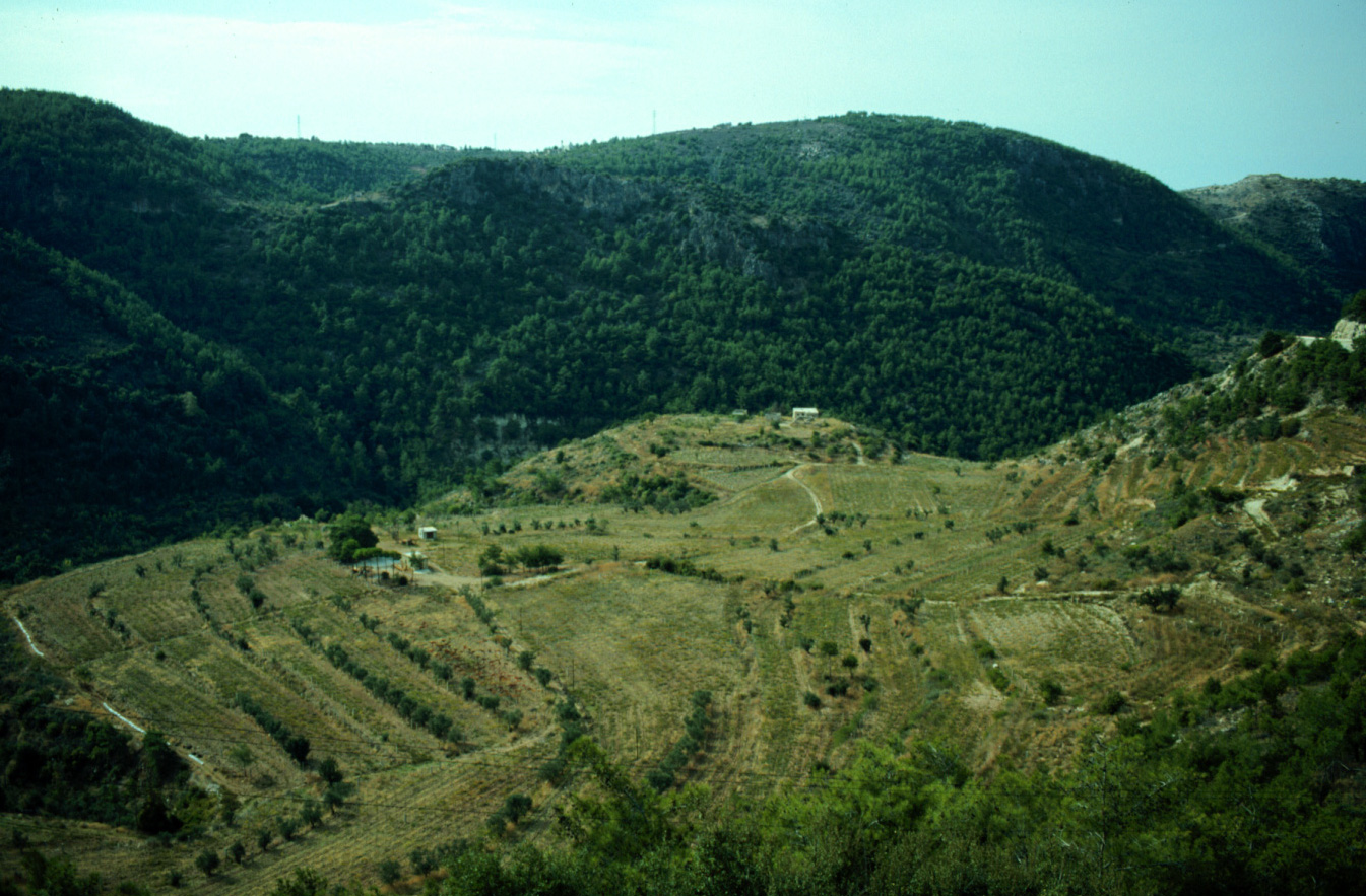
I-2 Meadow above Qartaba. 1983 (L)
|
I-3 Qartaba from road to Afqua. 1983 (L)
|
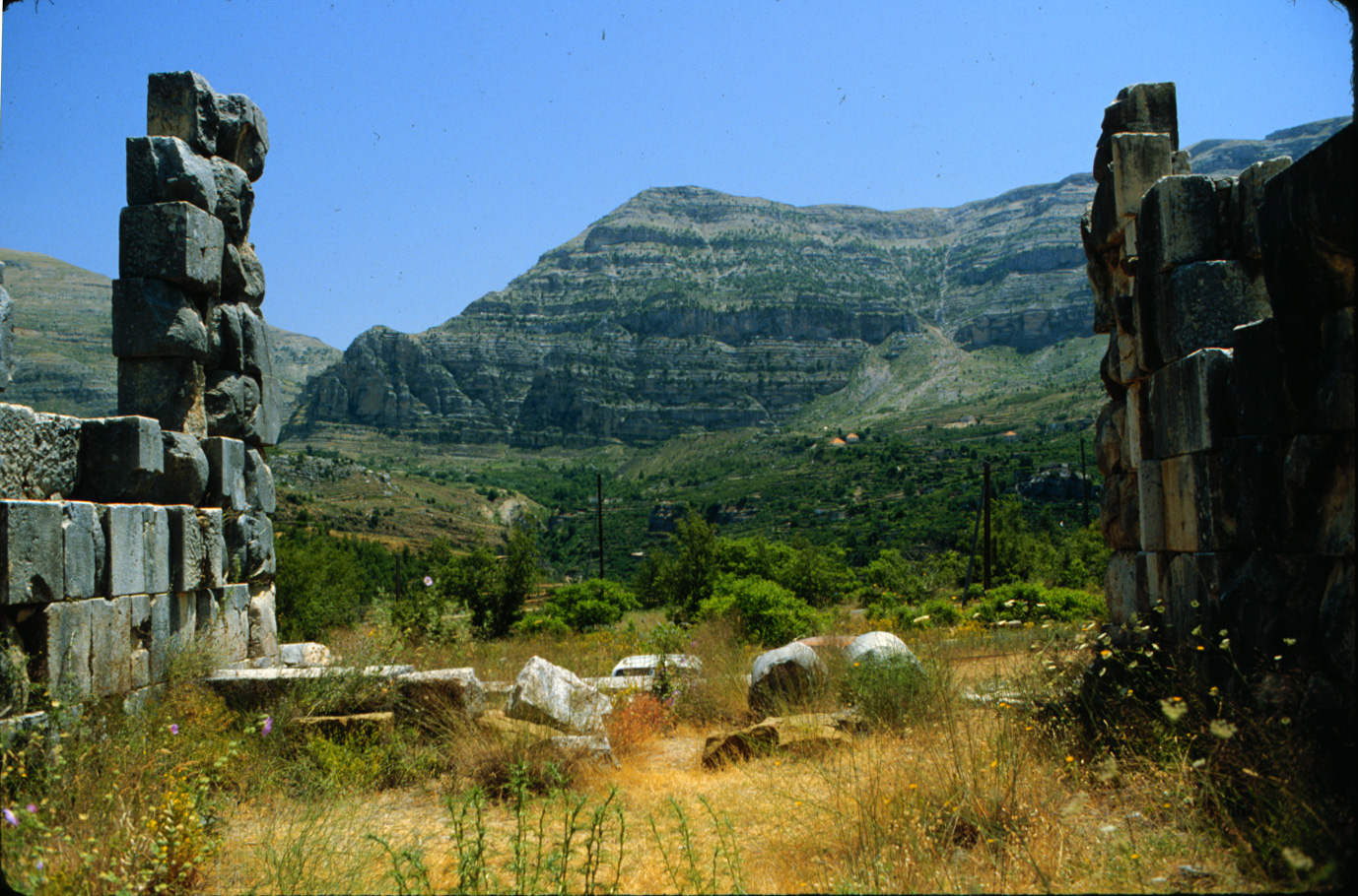
I-4 Roman temple at Mghaira, east of Qartaba. 1983 (L)
|

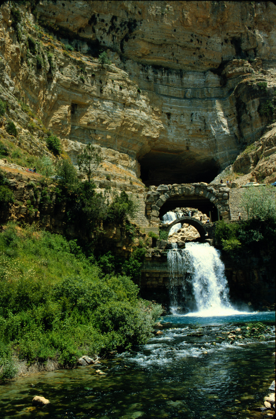
I-5 Afqua cave and pool. 1983 (L)
|

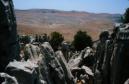
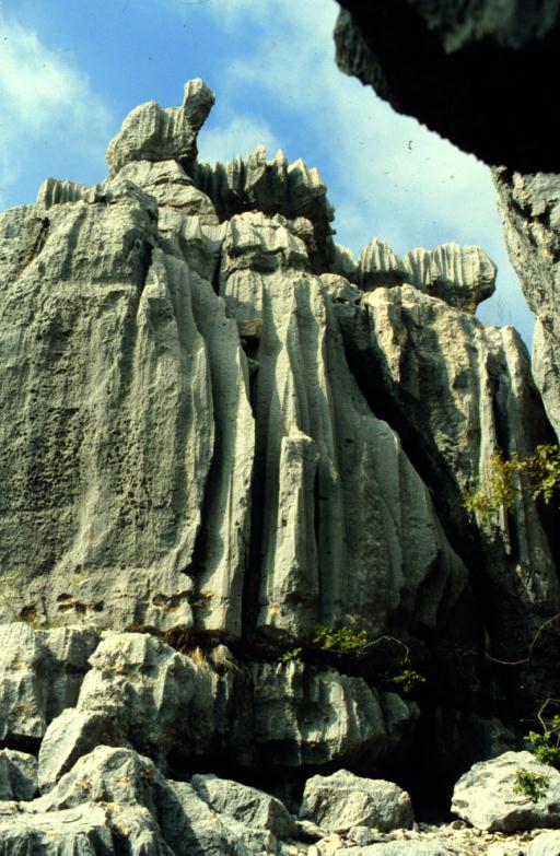
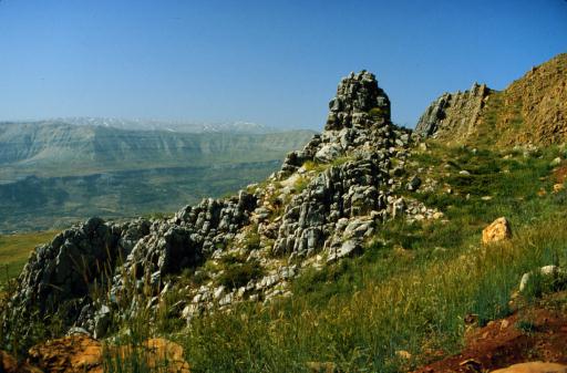
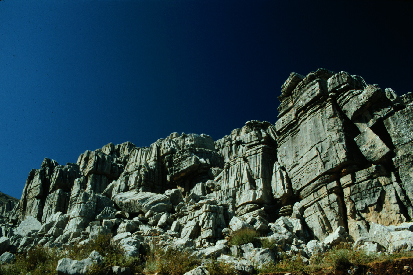
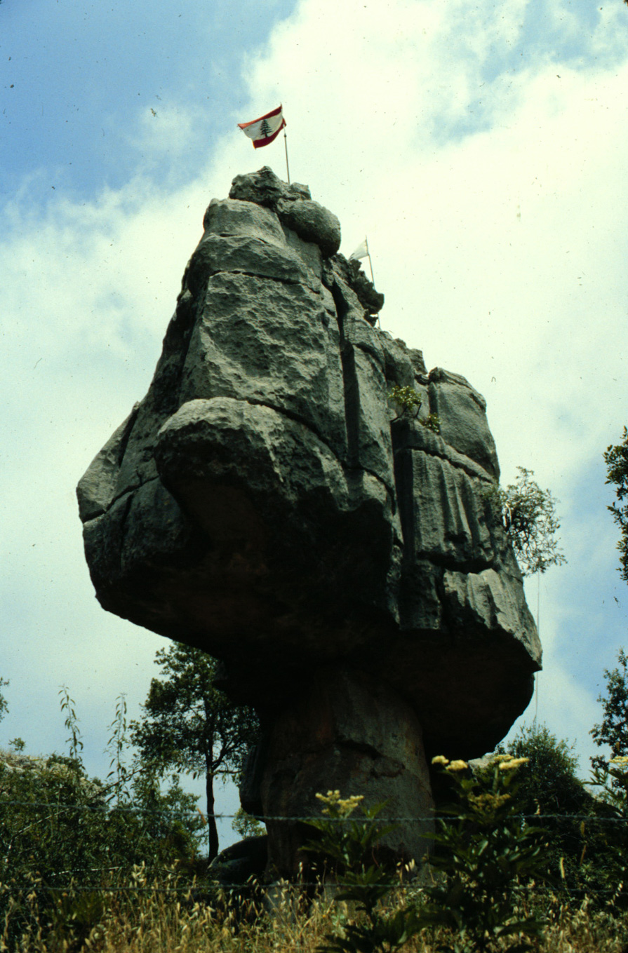
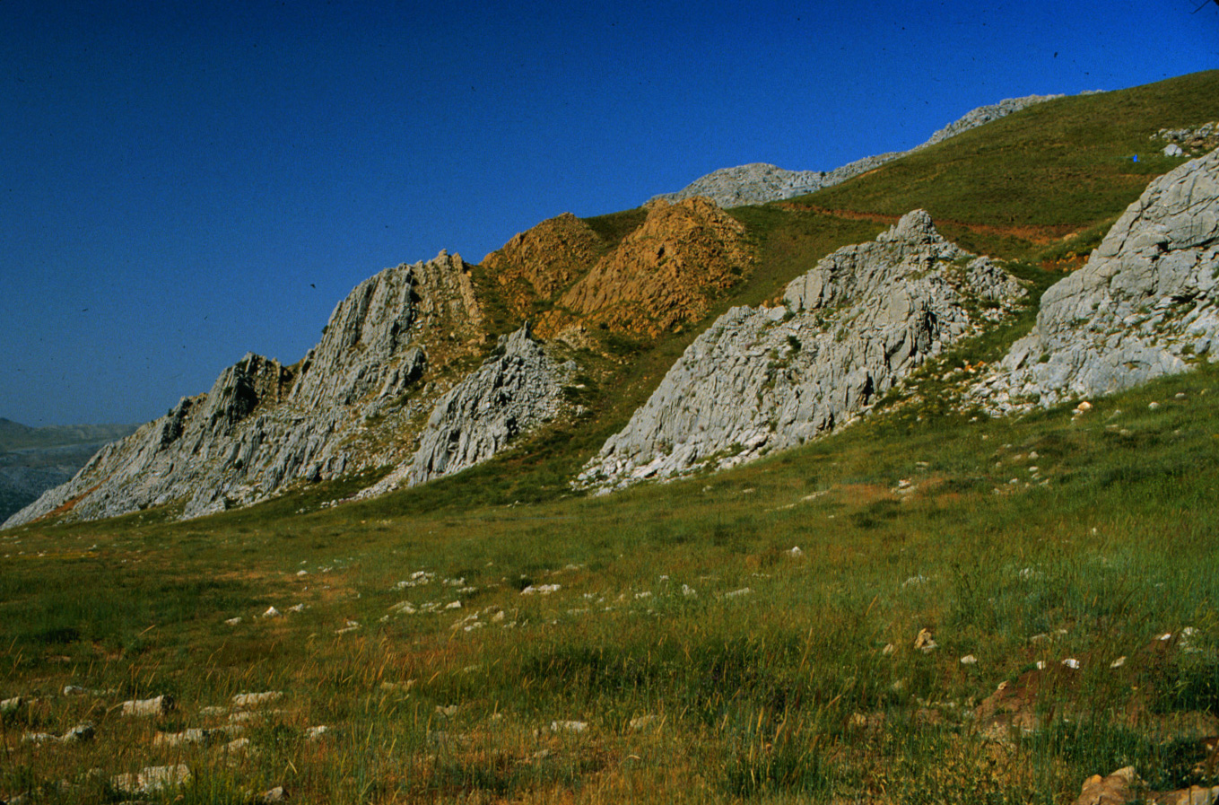
I-6 Tilted rock layers above Qartaba. 1983 (L)
|
I-7 Rock formation above Qartaba. 1983 (L)
|

I-8 Rock formation on 1896-meter mountaintop. 1983 (L)
|


