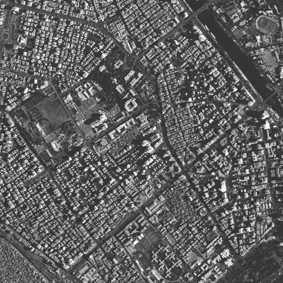
Cairo from space

An image of an area of central Cairo taken from 220km up by a Russian satellite using a camera system called KVR-1000.

Imagery provided by courtesy of   SPIN-2 - Aerial Images Inc.

Click the image for a 1150 x 1150 version (300K)

The area shown is between El Aguza (top left) and El Doqqi (bottom right). In the upper right corner is El Gezira island with part of the Ahly Sporting Club. The two bridges (6. October Street at the top) cross the narrow side channel of the Nile that runs between El Gezira and the west bank. The top of the image is north north-east.

----------------

al@mashriq