
|
[Prev] [Main] [Next] |
|
- 37 - 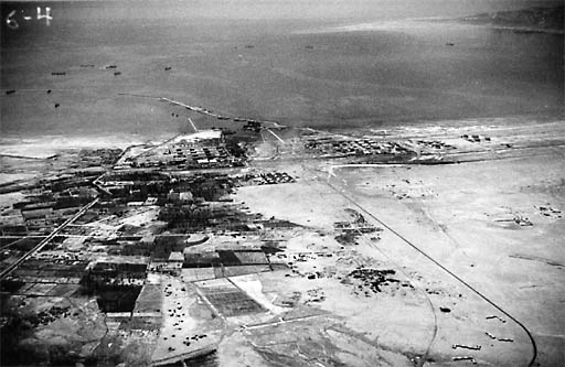
Fig. 55 Suez 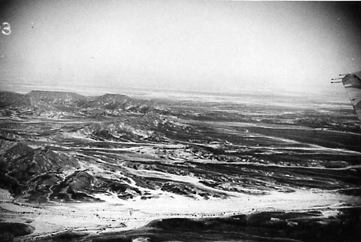
Fig. 56 Jebel Dalfa North Sinai Mountains. This is rougber country than most of that traversed by the road to AI Arish. From Suez the flight returned to Aqaba more or less along the reviously flown route of the Suez-Aqaba road, which obviously is the most feasible pipe line location. After circling Aqaba at 11:30 the flight followed the road on the map from Aqaba to EI Arish. This road climbs to the plateau through the cliffs over the same route as the Suez road; i.e., there is only one road, the branch being just about at the border of Palestine from 9 to 10 kilometers (6 miles) from, the hoed of the Gulf. |
|
|
[Prev] [Main] [Next] |
|

980329/bl