
|
[Prev] [Main] [Next] |
|
- 38 - Once the road emerges from the plateau, it appears to be good and would quite obviously make an acceptable pipe line right-of-way along which construction could be carried on with reasonable cost. The route through the cliffs would, of course, be the same as for the line across the Sinai peninsula. The length of the road to El Arish is about 140 miles and whether the pipe line could cut off any substantial amount of this is doubtful. El Arish was reached at 12:30 P.M. (Fig. 57) From here, as indicated on Map No. 4, the flight continued along the coast to Gaza (Fig. 58) and then turned southward toward Aqaba. For about 40 kilometers the going was easy crossing a well cultivated littoral plain, but from there on it was very rough indeed. (Fig. 59) 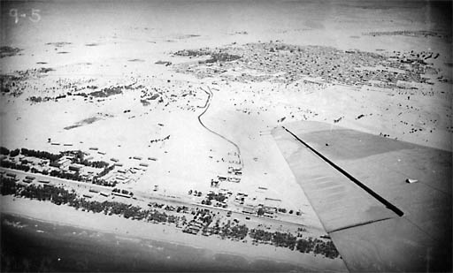
Fig. 57 El Arish 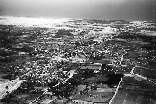
Fig. 58 Gaza |
|
|
[Prev] [Main] [Next] |
|

980329/bl