
|
[Prev] [Main] [Next] |
|
- 13 - At Ez Zabala there was a dug well apparently reaching the regional water table. The depth to water was estimated as 330 ft. by timing the fall of stones. Jumaima is another "birka" or cistern (Fig. 17) which lies in the belt of comparatively smooth Miocene limestone plains which forms the route of the line shown in the "Prospectus", and is an anchor point on that route since it lies at the point of a salient on the Iraq border. 
Fig. 17 Birka al Jumaima. Two gazelles were shot near Jumaima, (Fig. 18) and the party then traveled west along the "Prospectus" route, visiting the Jela'dah water well and camped for the night at Al Fiqiqi, a flat spot that has been dragged to make an air strip. (Fig. 19, and Map No. 2 ) 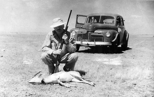
Fig. 18 Gazelle at Jumaima |
|
|
[Prev] [Main] [Next] |
|

980328/bl