
|
[Prev] [Main] [Next] |
|
- 9 - 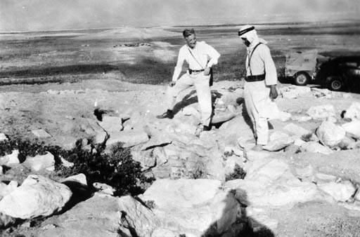
Fig. 9 Well at Ansab On returning from the wells which were a few kilometers north of camp, it was decided to travel south to the Dahana to determine the character of the country between the proposed Aqaba route and the original route and also to verify the supposition that the north end of the Dahana and the Nefud was a suitable location for a pipe line route. The route followed is approximately indicated on Map No. 2. After crossing the comparatively smooth Jeraiba plains some 10 to 20 kilometers south of Ansab., it traversed a fairly broad Wadi bottom intermittently covered with grass and wildflowers and a few small clumps of green trees, apparently of the acacia family. Such a tree-covered spot is called a raudha. 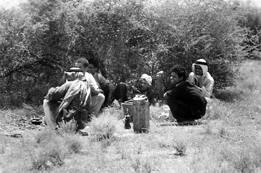
Fig. 10 A Raudha |
|
|
[Prev] [Main] [Next] |
|

980328/bl